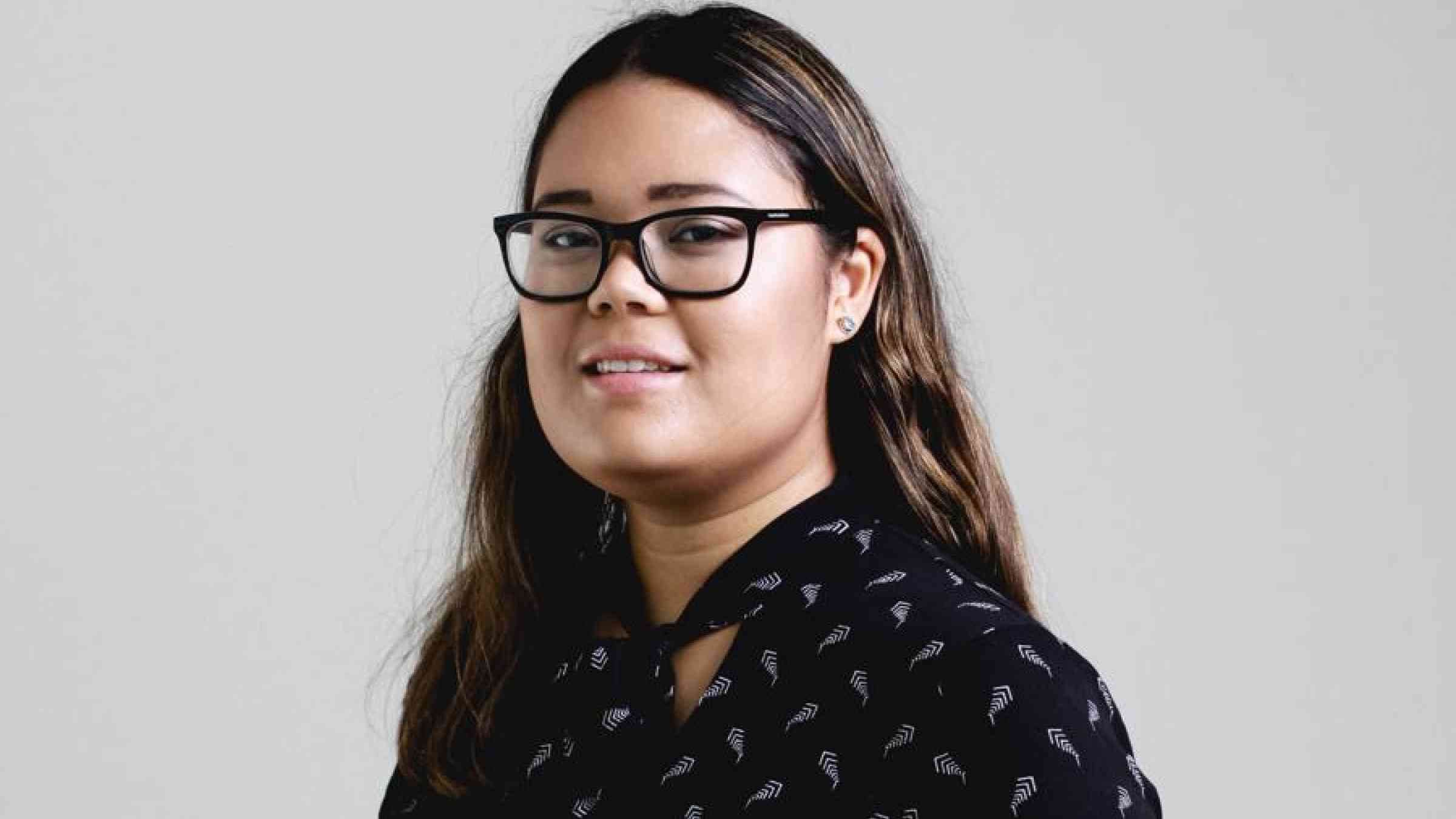
Ayeisha Sheldon: “Women play a huge role in the disaster sphere”

Despite the challenges, Ayeisha says building the capacity with local governments down to the community level, can support better disaster planning, which saves lives.
Ayeisha uses geospatial data to inform disaster risk management projects and strategies.
“We do a lot of mapping with floods in the Asia Pacific region,” she says. “It is about using geospatial data to analyze floods and provide maps and data to countries, communities and the people that need them. With satellites we can monitor most things on earth. You don't really sit down and think of all the things we can monitor until you see GIS (Geospatial Information Services) in action.”
She then puts the data online in web mapping applications and shares it with the public. “It’s great to provide a tool that the public can see,” she says. “They see the value in this technology and also the issues people face in disasters.”
The idea is to help disseminate information on the ground after a disaster happens and help communities be prepared for future emergencies. Ayeisha says it is part of a wider effort to provide data on projects delivering on sustainable development goals targets for clean water and resilient cities. Mapping impacts of disasters and supporting teams to respond is a key part of her work.

Image: Ayeisha Sheldon, INFORM Risk Index
She contributed to geospatial products for reports and policy papers on climate related disasters like floods and droughts in the region. During the pandemic she was working on a compendium of geospatial practices to help countries learn from what is working when it comes to mapping technology and disaster planning.
“Member states find it helpful to get insight into what other countries have done,” Ayeisha says. “It shows them how other countries have used geospatial applications for their disaster management strategies.”
“I wanted to use geospatial data mapping to help in developing countries. With these tools, I can really help the people who help people.”
Ayeisha got into satellite imagery and geospatial applications in high school and has always looked for ways to focus on how it can be used for positive goals.
“I wanted to use geospatial data mapping to help in developing countries,” she says. “With these tools, I can really help the people who help people.”
Coming from Australia where risk reduction efforts have reduced casualties from disasters, Ayeisha says working in Asia and the Pacific has helped her better understand the importance of planning for disasters.
“We don't have so many deaths or casualties because Australia has good planning systems,” she says. “We need to support all countries to have strong systems in order to reduce disaster risk."
After finishing her studies in Australia, Ayeisha moved to Thailand and began engaging with disaster-impacted communities across the region. “I found applying geospatial to disaster contexts was really interesting,” she recalls. “To be able to see how you can affect people on the ground, how you can help those teams. You start to see how this information can provide an overall picture very quickly and help identify needs to provide relief as soon as possible, without having to send people into disaster impacted areas that might be dangerous or inaccessible to conduct assessments.”
“You start to see how this information can provide an overall picture very quickly and help identify needs to provide relief as soon as possible.”
Ayeisha has grown accustomed to a predictable gender imbalance in her workplace, but admits it is always challenging being in a male-dominated field of tech in patriarchal Asian countries.
“It’s a very male-dominated field,” she says about her studies and first professional experiences. “I did sometimes feel like I was the odd one out.”

Photo: Ayeisha Sheldon
Ayeisha pushed through the discomfort of being the only woman in the room and she earned the respect of her male counterparts. She says male allies and mentors have helped her learn at every step in her career. “The majority of male colleagues were helpful,” she says, “They were willing to help me learn, help me grow and get me involved.”
“It’s a very male-dominated field. I did sometimes feel like I was the odd one out.”
Ayeisha says systemic barriers in developing countries mean that many women do not get the same opportunities that she had, like her internship at the Geoinformatics Center or Consultancy at the United Nations.
“There are less women studying overall in these countries so there are less women coming in as interns in geospatial tech,” Ayeisha says.
Barriers also remain in terms of basic digital access. While the public in some countries can learn from the shared interface of climate data, through working with teams in Vanuatu on her graduate studies research, Ayeisha found remote communities still faced significant barriers.
“It's difficult to get information and to get data,” she says. “In remote areas of Vanuatu, it was impossible to upload things or even for people to access smartphones to take GPS (GLOBAL POSITIONING SYSTEM) coordinates. It’s an issue that people don't think about.”
“Women might not even have access to knowledge products, let alone technology products. It's a huge gap.”
She says barriers in digital access intersect with gender norms to exclude women from the platforms. “Women might not even have access to knowledge products, let alone technology products. It's a huge gap,” she says.
Despite the challenges, Ayeisha says building the capacity with local governments down to the community level, can support better disaster planning, which saves lives.
“If people are trained in these systems and technologies,” she says, “then they can help implement different systems like disaster risk reduction systems and early warning systems. Women play a huge role in the disaster sphere.”

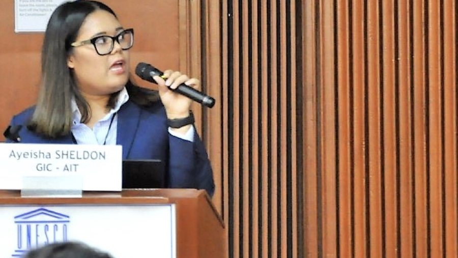
Photo: Ayeisha Sheldon
Ayeisha says women’s involvement in climate change planning is critical and these risk mapping platforms offer a way for them to be directly involved. “Women's voices and women's knowledge is important for disaster risk reduction and disaster management,” she says. “Having women trained in these systems can then inform these management strategies.”
“Women's voices and women's knowledge is important for disaster risk reduction and disaster management.”
She says it is part of a long-term plan to build the capacity with governments and then engage them to work together on disasters. She is helping to train women to become part of a global network that gathers and shares information about climate disasters.
“Women are interested,” she says. “They want to be involved; they want to be educated in these issues because these are the issues that affect their communities.”
While she is heartened by this enthusiasm, she worries that fitful donor funding and overstretched government ministries might undermine the longevity of this nascent climate data network.
“UN agencies and NGOs are going in and doing these projects and engaging women,” she says. “But once the project is finished or once they have left, are those women still engaged? Are they still able to contribute? Or are they just going back to whatever they were doing before?
Ayeisha is an optimist when it comes to how tech can make a positive difference in global climate preparedness efforts.
“Technology can accelerate solutions if used correctly, and it’s getting more affordable.”
“Technology can accelerate solutions if used correctly, and it’s getting more affordable,” she says. “If you look at Japan, South Korea, Australia and New Zealand: they use technology for disaster management ways that protect their people.”
Though Ayeisha cautions that the data they get from the mapping always has to be considered with the perspectives from on the ground.
“With data and maps we can compare trends and patterns but it’s only one side of the story,” Ayeisha says. “It needs to be combined or enriched with field data to get a more complete picture. ¸What we see from space is not a hundred percent accurate, it is part of the picture, not the whole picture.”
Join the Women’s International Network on Disaster Risk Reduction by clicking here.
The Women's International Network on Disaster Risk Reduction (WIN DRR) is a professional network to support women working in disaster risk reduction, in all their diversity. WIN DRR promotes and supports women's leadership in disaster risk reduction across the Asia Pacific region, and aims to reduce the barriers faced by women and empower them to attain leadership and enhance their decision-making in disaster risk reduction. WIN DRR is supported by UNDRR and the Government of Australia.
Learn more about Ayeisha’s work
Papers she contributed to:
Geospatial Practices for Sustainable Development in Asia and the Pacific 2020: A Compendium
Disaster-related Geospatial Applications she contributed to:
Sri Lanka 2017 - Emergency Response Data Viewer
Ayeisha‘s blog & portfolio
Ayeisha was inspired by:
This TED talk about the use of geospatial science and disasters
Ayeisha Sheldon is geospatial analyst, development consultant, freelance designer and editor. She worked for the Geoinformatics Center at the Asian Institute of Technology and the United Nations ESCAP in Thailand. Her most recent project is at UNOSAT-UNITAR in Switzerland where she helps shape satellite applications for development and humanitarian crises that result from disasters.