United Arab Emirates

National policies, plans and risk and governance profile(s)

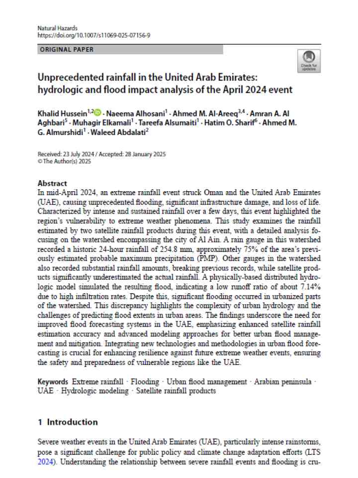
Cover
Documents and publications
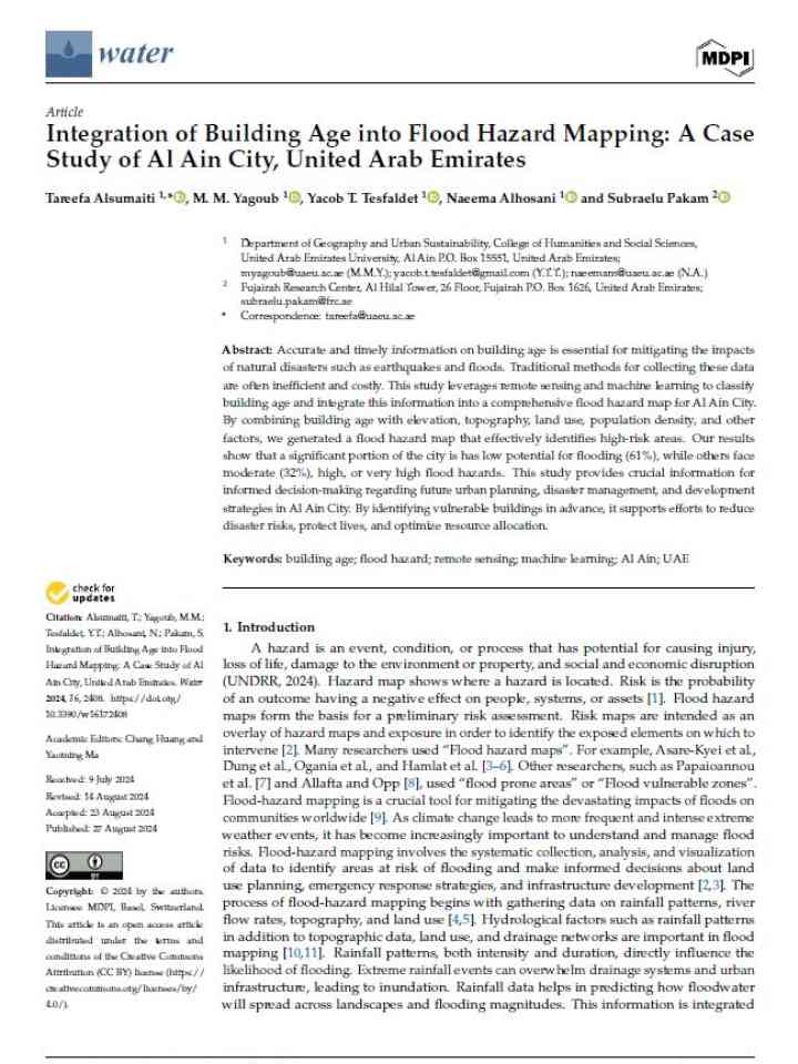
This study leverages remote sensing and machine learning to classify building age and integrate this information into a comprehensive flood hazard map for Al Ain City.
Cover
Documents and publications
This study provides insights into how privately owned groceries can complement large food storage facilities and provide sustainable public and private sectors (Public–Private Partnerships-PPP).
Cover and source: Global Earthquake Model Foundation
Documents and publications
This seismic risk profile of the United Arab Emirates, produced by the Global Earthquake Model (GEM) Foundation summarizes key metrics of seismic risk, allowing stakeholders in risk management to get an overview of the risk in the country.
Cover MDPI
Documents and publications
This research uses the landslide inventory of Chittagong Metropolitan Area (CMA) to create a new Artificial Intelligence (AI) based insight system for the town planners and senior disaster recovery strategists of Chittagong, Bangladesh.
Cover- United Arab Emirates VNR MTR
Documents and publications
The Voluntary National Report of the United Arab Emirates for the Midterm Review of the Implementation of the Sendai Framework for Disaster Risk Reduction 2015-2030 (MTR SF).
Cover
Documents and publications
This research applies remote sensing and Geographic Information System (GIS) methods to assess the spatial distribution of natural hazards and their proximity to heritage sites in the UAE. The GIS database is available for interested users upon request.
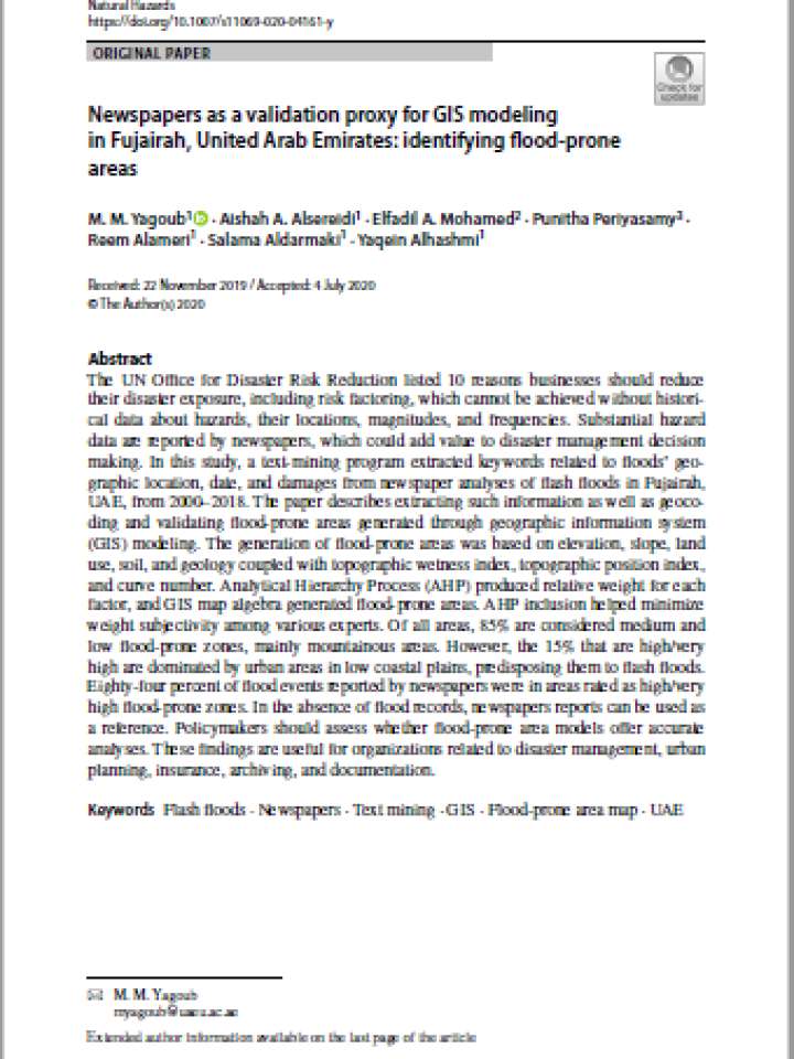
Documents and publications

The UN Office for Disaster Risk Reduction listed 10 reasons businesses should reduce
their disaster exposure, including risk factoring, which cannot be achieved without historical
data about hazards, their locations, magnitudes, and frequencies

Documents and publications

This study investigates the spatio-temporal distribution of earthquake events taking place in the United Arab Emirates (UAE) and its effect on the population. In this study seven parameters are used for generation of a hazard map; this includes geology

View more Knowledge Base entries

Further DRR country-level resources

IRP resources on United Arab Emirates
The International Recovery Platform strengthens knowledge and information on building back better in recovery, rehabilitation, and reconstruction.

Explore the Knowledge Base

PreventionWeb's knowledge base contains more than 75,000 entries and is updated daily.

Bookshelves in a library.
Type of content
Explore all updates by their type: news, publications, resource guides and more.
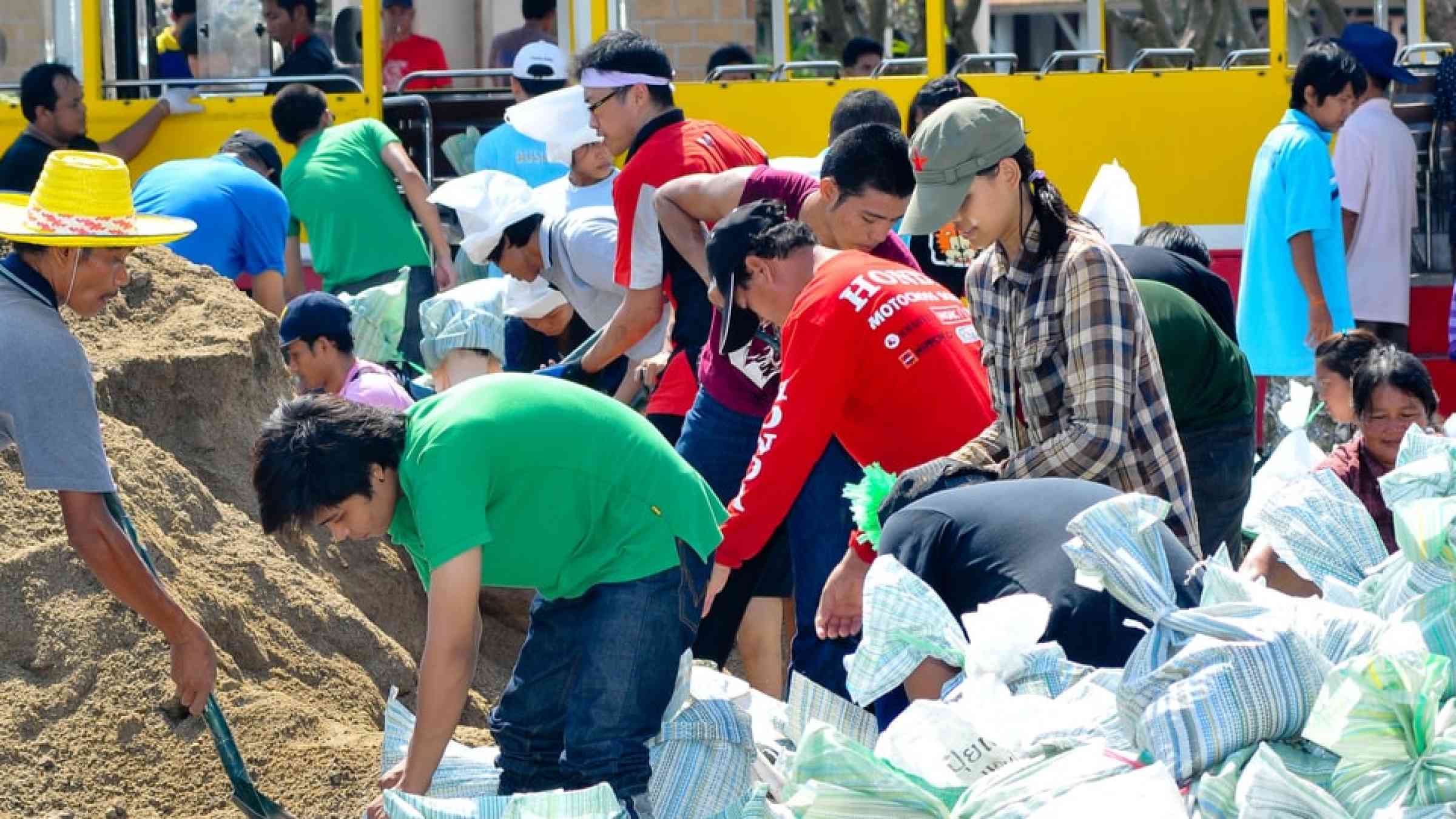
Thai people making sandbags to prevent flooding during the monsoon season in Bangkok, Thailand
Themes
Explore by the DRR theme: Human, economic, governance, science, environment and more.

Different symbols of hazards and disasters.
Hazards
Explore by the hazard type: floods, heat, landslides, drought and more.
Airplane from above
Resource guides
Keep up to date with various DRR topics and emerging trends.
Is this page useful?

Yes No
Report an issue on this page

Thank you. If you have 2 minutes, we would benefit from additional feedback (link opens in a new window).