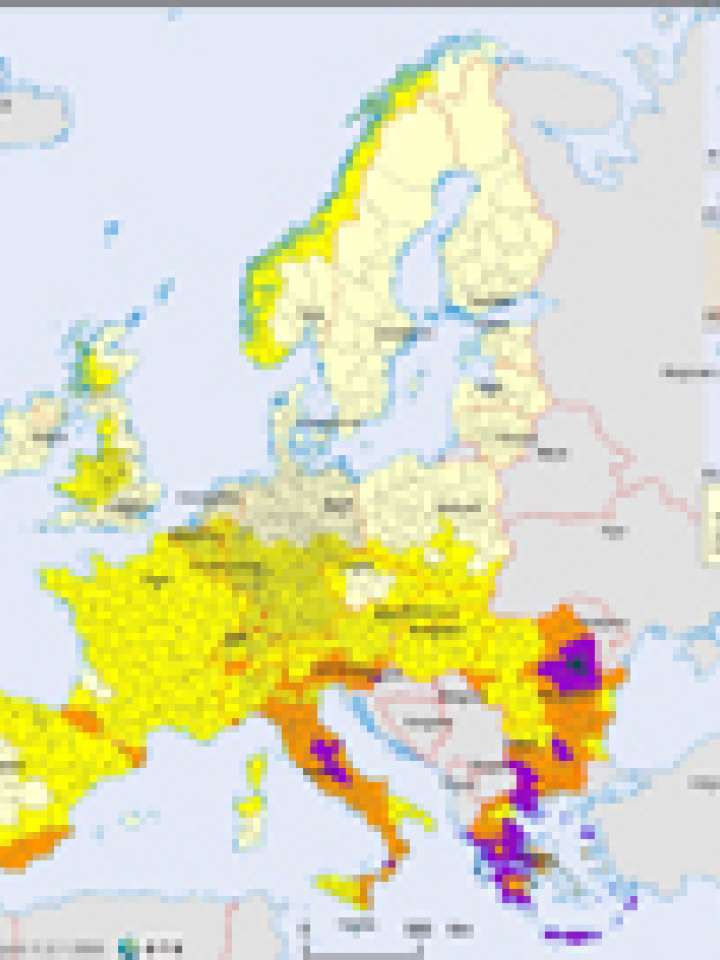
Europe: earthquake hazard map
The map shows a classification of NUTS3 areas based on their average value of Peak Ground Acceleration (%), converting data from the Global Seismic Hazard Assessment Project (GSHAP) into 5 hazard classes. Calculating the mean value of the grid points inside the NUTS 3 boundaries, the effect of the peak values in the area has been lowered.
The highest earthquake hazard is concentrated in south-eastern areas of Europe, e.g. Greek, Italy and Romania. With the theory of plate tectonics, it has become evident that most earthquakes occur along the margins of plates, where one plate comes into contact with another, developing shear stresses. There are, however, examples of significant earthquakes apparently not associated with the plate boundaries. The earthquake activity zone affecting in continental Europe is sometimes called the "Mediterranean and trans-Asiatic" zone. Earthquakes in this zone have foci aligned along mountain chains. These active zones have not changed significantly through human history (Radu and Purcaru, 1964).
Explore further
