Risk identification and assessment

A qualitative or quantitative approach to determine the nature and extent of disaster risk by analysing potential hazards and evaluating existing conditions of exposure and vulnerability that together could harm people, property, services, livelihoods and the environment on which they depend.

Latest Risk identification and assessment additions in the Knowledge Base

Update
Researchers from the School of Ocean and Earth Science and Technology (SOEST) created a new tool that will allow forecasting of El Niño Southern Oscillation (ENSO) by up to 18 months.
University of Hawai'i
Update
U.S. Geological Survey scientists will deploy to the active South Fork and Salt fires today to increase water data transmission from streamgages within the burn area.
United States Geological Survey
Research briefs
Iceland’s ongoing volcanic eruptions may continue on and off for years to decades, threatening the country’s most densely populated region and vital infrastructure, researchers predict from local earthquake and geochemical data.
University of Oregon
Update
The Global Earthquake Model (GEM) Foundation is gearing up for the 18th World Conference on Earthquake Engineering (WCEE2024) in Milan, Italy, from July 1st to 5th, 2024.
Global Earthquake Model Foundation (GEM)
An electric fan cools down a resident inside her house
Update
While this summer is likely be one of the hottest on record, it is important to realize that it may also be one of the coldest summers of the future.
Conversation Media Group, the
Cover
Documents and publications
This paper aims to contribute to the global efforts to enhance flood resilience in urban areas by introducing a physical vulnerability index for buildings in flood-prone urban areas and exploring its connection with flood hazard.
Cover
Documents and publications
As part of an effort to ensure that stakeholders have the best information, this Handbook provides the reader with a baseline understanding of Mauritius’ national entities involved in disaster management and climate change action.
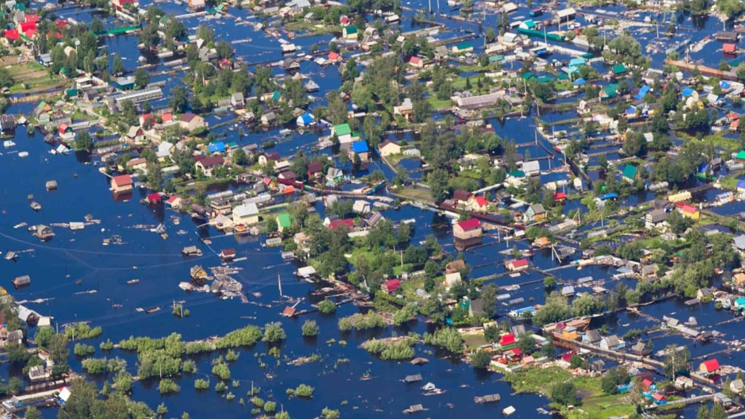
Aerial view of the residential area of the suburb of Nizhnevartovsk during the flood of 2015 in Russia
Update
By analysing 56-million-year-old sediments, a UNIGE team has measured the increase in soil erosion caused by global warming, synonymous with major flooding.
University of Geneva

Is this page useful?

Yes No
Report an issue on this page

Thank you. If you have 2 minutes, we would benefit from additional feedback (link opens in a new window).