Latest additions to the knowledge base

The latest additions to the PreventionWeb knowledge base. New content is monitored and added on a daily basis. Filter your search results by year, content type, location, theme and hazard, or explore further sections of the knowledge base.

Uploaded on
Research briefs
A new algorithm for satellite radar data may hold the key to resolving issues in observing precipitation observation issues in unique and challenging physical environments like the Tibetan Plateau.
University of Science and Technology of China (USTC)
Cover
Documents and publications
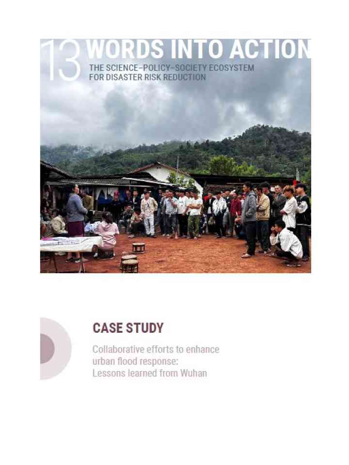
This paper explains how the city of Wuhan has implemented a comprehensive disaster resilience strategy that integrates policy formulation, scientific research, and public communication in response to severe floods.
Cover
Documents and publications
This study investigated the characteristics of the extreme rainfall spatiotemporal and recurrence periods in Guizhou province and discussed the relationship between the response of extreme rainfall to temperature change.
Cover
Documents and publications
Taking Xun County of China’s Henan Province as the study area, the paper aims to evaluate rural community resilience to flood by unveiling the connection between individuals’ cognition, follow-up actions and the community resilience.
Update
Southern China experienced an extreme drought that persisted from summer to autumn in 2022, ranking as the most severe drought since 1980. The reason for the occurrence of this extreme drought event was investigated,
Science China Press
Cover
Documents and publications
This study analyzes the implications of disaster resettlement on “vulnerability–adaptation” categories in southern Shaanxi by measuring specific and general resilience.
Cover
Documents and publications
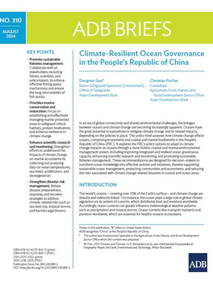
Focused on the People’s Republic of China (PRC), this brief shows how climate change impacts coastal ecosystems and marine biodiversity, and recommends ways to improve sustainable ocean management, maintain food security, and protect livelihoods.
Rockfall blocks a road followin heavy rain
Research briefs
Using data collected from a 2022 magnitude 6.8 earthquake in Luding County in China's Sichuan Province, researchers have tested whether Global Navigation Satellite System observations could be used for rapid prediction of earthquake-triggered landslides.
Seismological Society of America

Can't find what you're looking for?

Understanding risk basics

PreventionWeb offers explainers that cover the basic concepts of risk.

Risk reduction how-to

How can you help others reduce disaster risk?