Barbados: Informing local action by bridging global and national risk data
The Challenge
There is a general lack of awareness among stakeholders about what risk data is already available from global organizations.
- If we could increase the sensitization of national end-users to what is available, then the uptake of datasets could increase.
Countries are typically sceptical about data from global risk datasets, especially if they were not a part of the data collection or development process.
- If there are mechanisms such as metadata to provide evidence of data validation, accuracy and precision, the scepticism may be reduced for greater uptake of the use of global datasets.
The resolution of risk data is typically global, with little to no disaggregation of data at sub-national levels.
- If risk data could be collected by global producers on the behalf of countries at a finer resolution, the data would be more useful to end-users for national and sub-national application.
Co-creating Solutions
UNDRR consultations with national stakeholders explore what risk data is currently collected, identifies gaps in data collection, and how to make better use of risk data. Mapping of risk data that national stakeholders currently collect is a foundational step.
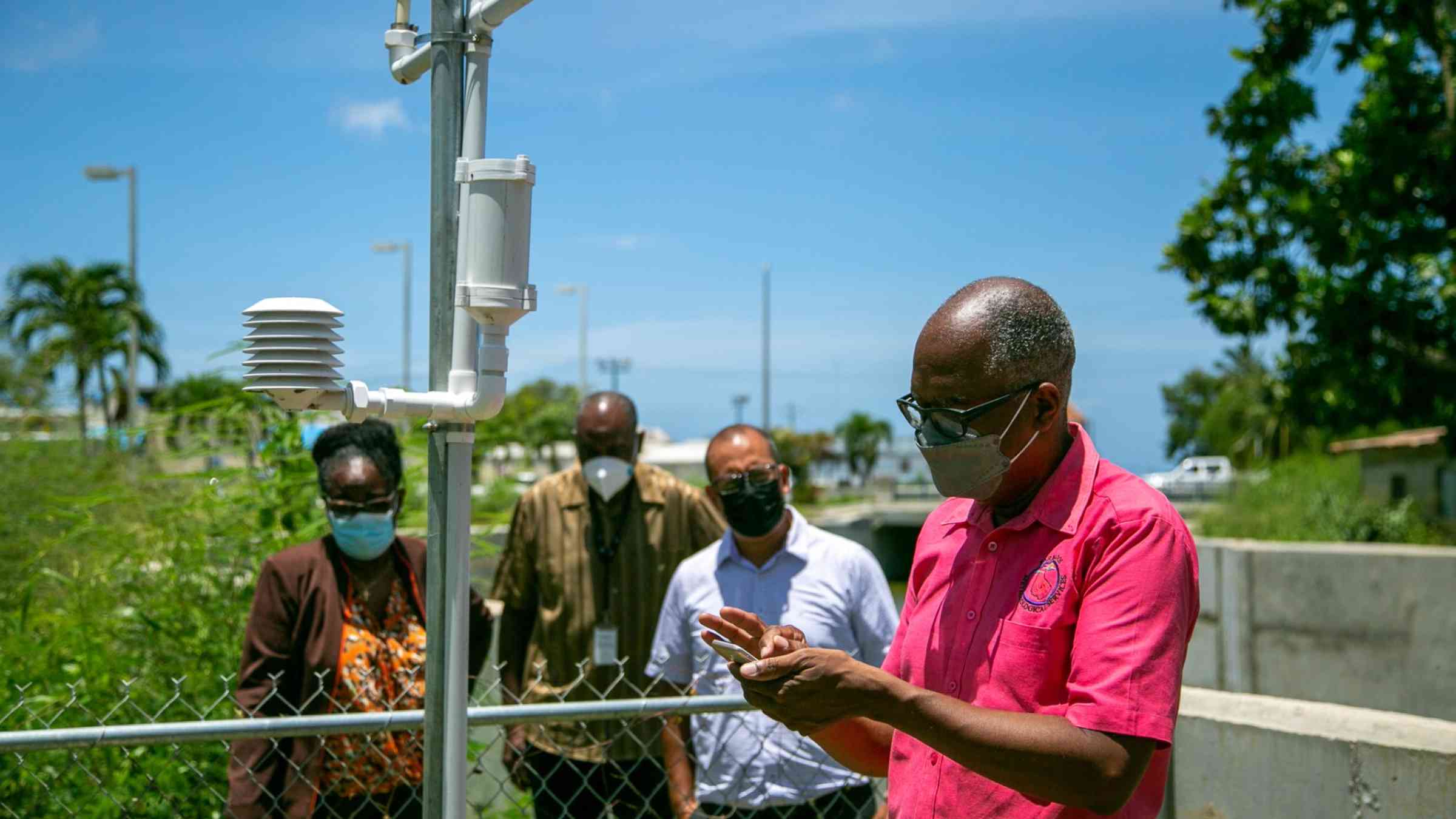
There are some government departments and agencies which are incredibly self-sufficient in meeting their data collection needs. For example, the Barbados Meteorological Service has access to and manages a Doppler Radar with a range of 400 km, satellite imagery, weather stations, and unmanned drone technologies for weather monitoring and data collection.
Such an organization would download and use data from global producers if the data available addresses a gap in the national system or meets a specific need, or there is buy-in from national actors who were involved in the data generation process.
Who is Involved?
UNDRR is collaborating with the Ministries and Departments of Spatial Planning and Development, National Disaster Risk Management Agency (NDMAs), Ministries and Departments of Environmental Protection and Management, and National Statistical Services to improve the risk data ecosystem in Barbados, including the establishment of the Barbados Disaster Risk Information Management System (DRIMS), a digital repository of risk data for multiple applications such as early warning systems, DRR planning, and land suitability mapping to avoid infrastructure exposure to climate-related and other hazards.
Emerging Lessons
If NDMAs and other actors are involved or consulted prior to the data collection process, they can pre-determine what datasets they would like and input on how they would like that data to be collected. In the instance that global producers take these inputs and develop the data requested, the data has a higher likelihood of being applied by the country, which then saves resources which would otherwise have been spent on acquiring the data independently.
Measuring Success
Success can be measured by the number of persons accessing the data portal, the number of downloads of datasets, and the number of countries with increased risk datasets (which would require a baseline study for comparison).
