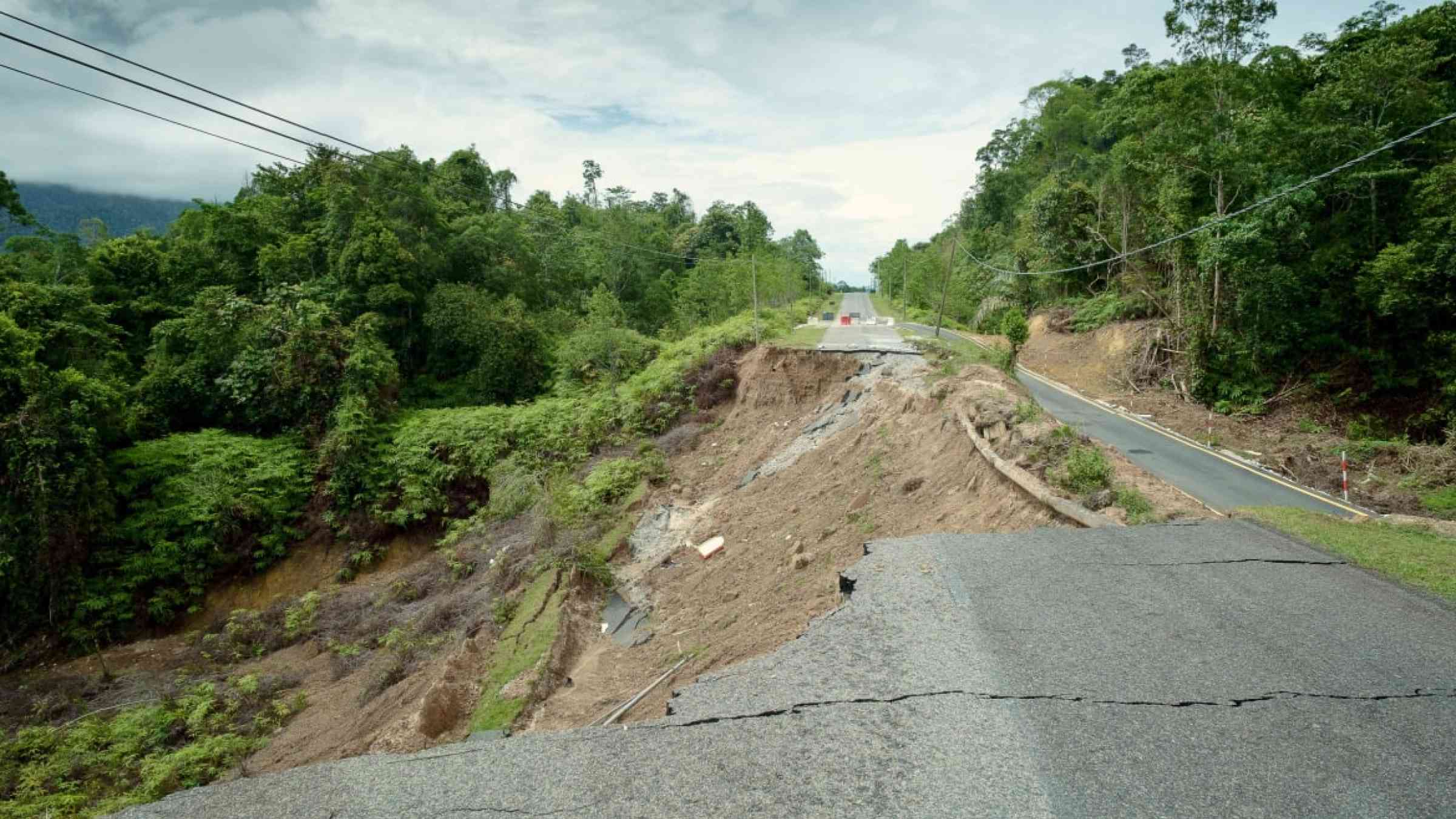
Ethiopia’s deadly landslides are caused by both nature and man – a geophysicist explains

As many as 300 people were killed in landslides triggered by higher than normal rainfall in south-western Ethiopia in July 2024. More than 15,000 were also forced to leave their homes. Another less deadly landslide that occurred two weeks later killed a dozen. Getnet Mewa, a geophysicist who studies landslides and associated landmass movements, explains where and how landslides occur in Ethiopia.
Where do landslides occur in Ethiopia?
Ethiopia is situated in a region dissected by the East African Rift System, which is one of the Earth's geologically active rift systems. A rift valley is a lowland region that forms where Earth's tectonic plates - gigantic pieces of the Earth's outer shell - move apart or rift. The still active rift system is bordered by uplifted plateaus and dotted with volcanic mountains and lakes.
Past geological processes have largely determined the present day landscape of Ethiopia. It's marked by uneven landscape with chains of mountain and valleys underlain by poorly cemented (loose) soil mass and rocks that are highly weathered and fractured. When abnormally high amounts of rain fall, these mountainous areas of Ethiopia become exposed to significant landslide risks.
Studies show that about 49% of Ethiopia's territory is prone to medium to very high landslide risk. These areas include the northern, north-western, central, south, and south-western Ethiopian highlands and rift bordering areas.
What are the main enabling factors?
Landslides occur because of a number of factors. These include:
1. Soft earth materials covering slope surfaces: When loose soils or extremely weathered (decomposed) masses get saturated, they easily lose stability and gradually start to slide down due to gravity.
2. High amounts of rainfall: Water is the main trigger of a landslide. Infiltration of rainwater raises the groundwater level, which weakens the surface strength. This results in slope instability. When the forces that resist and drive the movement of the susceptible soil mass aren't balanced, a landslide occurs.
3. Elevation and slope angle (gradient): The steeper the slope, the faster will be the mass displacement (landslide).
4. Poor land use practice and absence or scarcity of deep-rooted vegetation cover: This is one of the main reasons behind the increasing number of landslides in the country. With the increasing population, risk prone areas that were previously unoccupied have been turned into either settlement or farming sites.
A preliminary assessment that I submitted to the National Meteorological Institute indicated a clear shift in land use practices in three decades within the central part of Ethiopia (bounded between 37.0-39.80E longitude and 8.10-12.20N latitude). It revealed a decrease in the agricultural land, bare land, and to some extent forest lands. There was a significant increase in the built-up areas between 1990 and 2019. This suggests that poor land use practices and absence or scarcity of deep-rooted vegetation cover are key factors that contribute to the increasing rate of landslide.
What do we know about the most recent deadly landslides?
The devastating landslides in July 2024 occurred in South Ethiopia's Gofa zone, Gezei-Gofa Woreda. It followed intensive rainfall on 21-22 July. The mean annual rainfall varies in the range of 1,200mm-2,200mm. However, about 50%-80% of annual rainfall is recorded during the main rainy season, known as kiremt, between mid June and mid September.
The National Meteorological Institute of Ethiopia warned that unusually high amounts of rainfall would fall this year and could result in fatalities and crop damages.
Landslides have occurred before in Gofa zone. According to an unpublished report prepared for the government, the area has top soil of nearly one metre thick and about five metres of colluvial deposit (clay and silt with gravels and boulder mixture). Beneath these layers there is a relatively compacted soil bed, which acts as an impermeable layer.
Rainwater filters through the top two layers and saturates them. The water slowly washes out the fine grained materials that holds together the coarse grained materials. When the driving force in the upper two layers exceeds the resistance force of the lower layer, a mass movement is triggered by the force of gravity.
What mitigating action has been taken before and what more needs to be done?
A lot of what is known about localised landslide risk is documented by infrastructure developers carrying out feasibility studies for roads, bridges, buildings and dams. It has also come from project planners and designers seeking detailed information about landslide damage that has occurred.
The lessons learnt from civil engineers can be applied elsewhere to mitigate the causes and extents of landslides.
Measures to counter landslides include:
- construction of drainage channels to prevent rainwater infiltration
- use of perforated pipes (horizontal drains) to withdraw shallow groundwater
- slope trimming (to reduce slope gradient) and buttress fills to maintain slope balance
- slope protection works (such as planting trees)
- construction of horizontal gravity drainage tunnels
- construction of retaining walls to minimise slope mass movements.
In some cases the proposed measures have not been as effective as planned due to the complicated nature of the subsurface. For instance on the Dejen-Gohatsion road, which is a critical route connecting the north-west part of Ethiopia with the central, there were slope failures in the Blue Nile basin.
Ethiopia can also draw on existing research to make a comprehensive mitigation plan. Research conducted would help to locate and identify potential areas exposed to landslide risks. It can be used to assign priority for further studies and evaluation before developments projects are carried out.
It's also important to improve public awareness in risk prone areas. The academic community has presented study results to key stakeholders, but regional and local authorities rarely pay attention. The result is that information and knowledge is not transferred. Community awareness is very poor and authorities are poorly prepared - this leads to high fatalities.