GP2022 Ignite Stage: Improving flood preparedness for communities in Nigeria through the provision of flood early warning maps
On 26 May 2022, “Improving flood preparedness for communities in Nigeria through the provision of early warning maps” was presented at the Ignite Stage during GP2022.
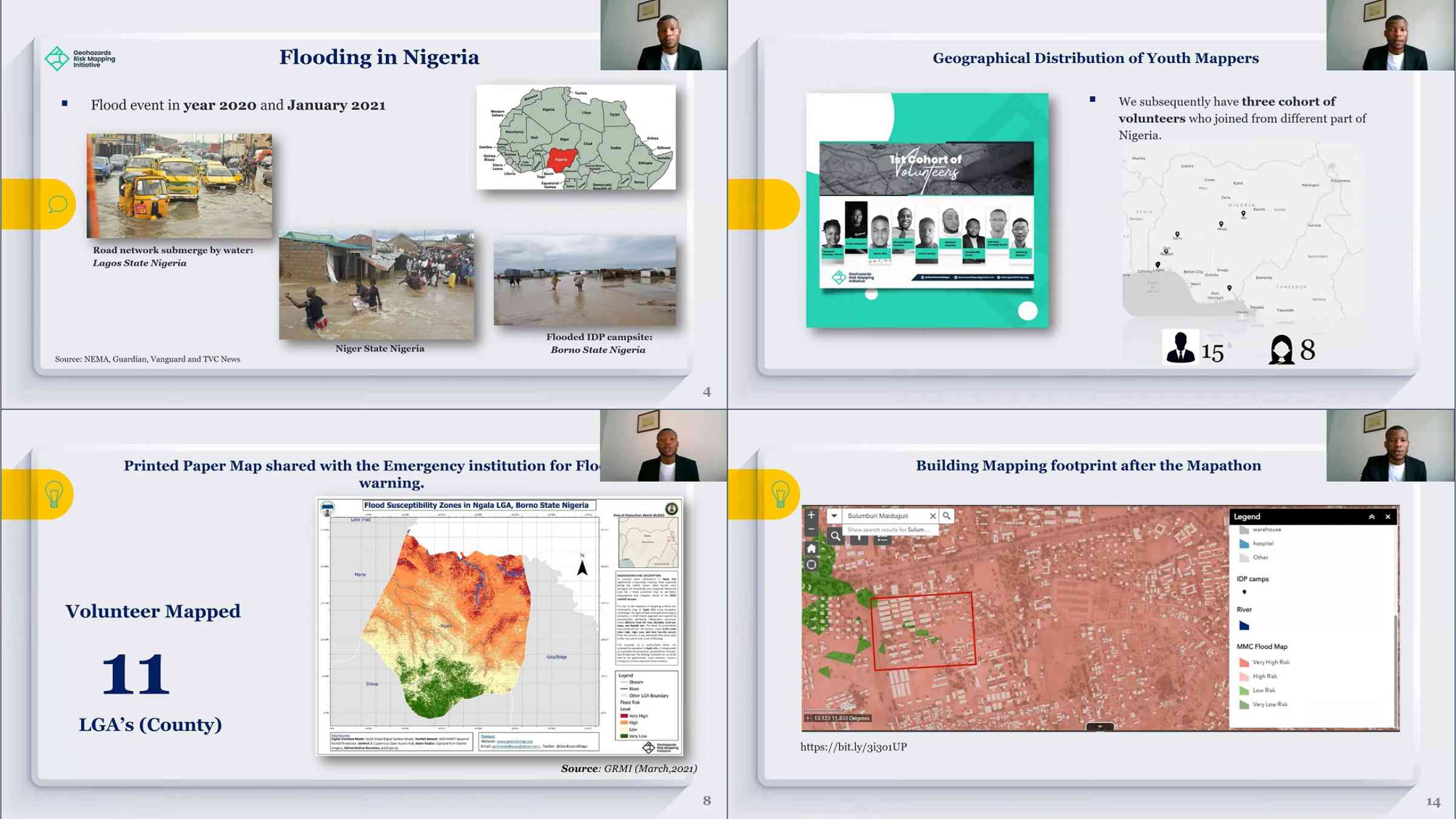
In response to the severe flooding that Nigeria experiences every year, the Geohazard Risk Mapping Initiative was founded by Mr. Taiwo Ogunwumi with the aim of deploying youth volunteers to improve flood response and resilience in Nigeria using geospatial technology.
Mr. Ogunwumi specifically talks about their project “Improving flood preparedness for communities in Nigeria through the provision of early warning maps,” which is one of the published voluntary commitments in the SFVC platform. The project created flood maps for specific states in Nigeria through collaborative mapping to assess flood risks and impacts at the community scale. This information was shared widely and made publicly available to be accessed by all relevant stakeholders including national agencies, local governments, and community members to make better informed decisions.
Mr. Ogunwumi further encouraged the participation of youth to contribute to the achievement of the Sendai Framework and pursue similar initiatives.