Improved tsunami warning system for mega-earthquake-prone Cascadia region
Residents of the Cascadia region in British Columbia and the U.S. Pacific Northwest are the focus of an effort to improve NOAA’s tsunami warning system, based on a novel combination of GPS and seismic instruments. The new technology called seismogeodesy can help the highly populated region, which hasn’t experienced a trembler since 1700, better prepare for the “big one.”
Bock and colleagues from NASA and the National Oceanic and Atmospheric Administration (NOAA) Tsunami Warning Centers in Alaska and Hawaii are currently prototyping the seismogeodetic technology to provide the warning centers with a revolutionary tsunami detection and measurement technique to more quickly and accurately characterize the large earthquakes and associated tsunamis that occur along the Cascadia Subduction Zone. The zone is a mega-earthquake-prone region that spans offshore from Northern Vancouver Island in British Columbia to Cape Mendocino in Northern California. The same technology can also be deployed around the Pacific basin with active subduction faults.
High-precision, second-by-second measurements of ground motions and displacements using seismogeodesy provide improved initial magnitude and fault parameters. The technology takes advantage of the combination of data from the two instruments, in particular in the epicentral region where a tsunami would have the greatest impact. The current system relies on data outside the immediate region, which may significantly underestimate the magnitude of the event.
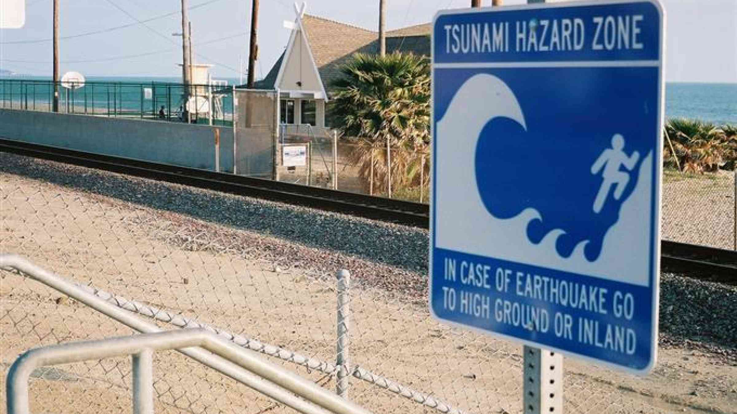
“In Cascadia, tsunami waves would arrive within 15 to 30 minutes of a mega-earthquake,” said Bock. “The seismogeodetic system will provide a more accurate magnitude estimate, within two to three minutes of the earthquake’s initiation, as well as the type of earthquake fault mechanism – two critical elements for local tsunami warning.”
When a large earthquake is detected, the system uses the initial seismogeodetic data to automatically calculate its vital characteristics including location, magnitude, and details about the fault rupture.
“Larger ocean-basin wide warning systems, which do not use GPS information, cannot provide the same forecast accuracy in a timely manner as a localized system where local tsunami waves can arrive within an hour or less of a large earthquake,” said Bock.
According to geological evidence, large mega-thrust earthquakes occur every 400 to 600 years along the 1,000-kilometer (620-mile) Cascadia Subduction Zone. Historical accounts by residents during a major quake that occurred in 1700 suggest that it triggered a large and destructive tsunami in the area. A new rupture along the subduction zone is expected to be capable of causing widespread damage in the highly populated region that includes Vancouver, Seattle and Portland.
Once the network is fully implemented, NOAA will use it to issue local tsunami warnings in order to better protect people and infrastructure in the region.
