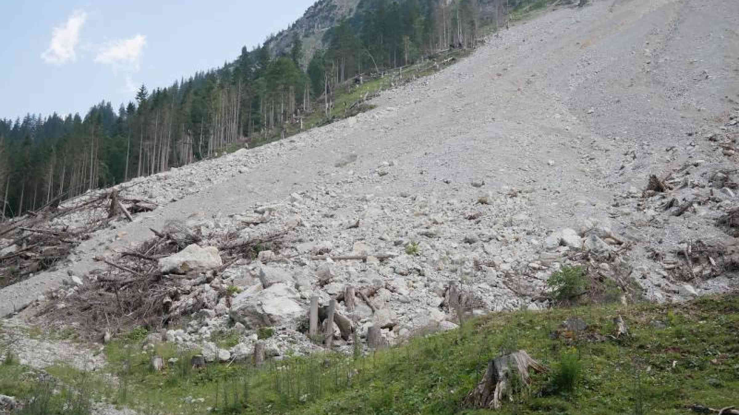
New landslide forecasts could save lives

For several days in late September 2015, heavy rains soaked the earth surrounding the district of El Cambray II in Guatemala. On the first night of the following month, steep slopes, long held in place by thick, tropical tree roots, suddenly gave way, burying hundreds of homes in mud up to 15 meters deep. At least 280 people died.
Officials had warned residents for years that the area was at risk, but a mixture of poverty and mistrust leads some of the poorest people in Central America and beyond to build and live on marginal land. Still, residents of El Cambray II might have been willing to temporarily evacuate, if they had received a credible and precise warning. And if such warnings were available worldwide, they could help reduce the 3,000 deaths attributed to landslides every year.
Fortunately, slide alerts worth heeding are in the works—and the El Cambray II event gave scientists their first new landslide data against which to validate a novel software system for monitoring the hazards in near real time. The basis is U.S. National Oceanic and Atmospheric Administration infrared and microwave satellite data, which enable a global forecast of rainfall at a four-kilometer resolution for up to six hours into the future. Scientists at the Hydrologic Research Center (HRC) in San Diego, who developed the system, add local weather radar and rain-gauge data where available to help predict likely flash floods. A new component for predicting landslides integrates global soil-moisture assessments. In Guatemala, local partners combine all these data onto a digital map of more than 8,000 known historic landslide sites to yield risk estimates as frequently as every six hours. The resulting landslide warnings focus on the effects of a specific storm on areas just two to four kilometers across. Such alerts are harder to ignore than blanket warnings, which might be in place for days or cover entire valleys, and may not account for local soil conditions.
[...]