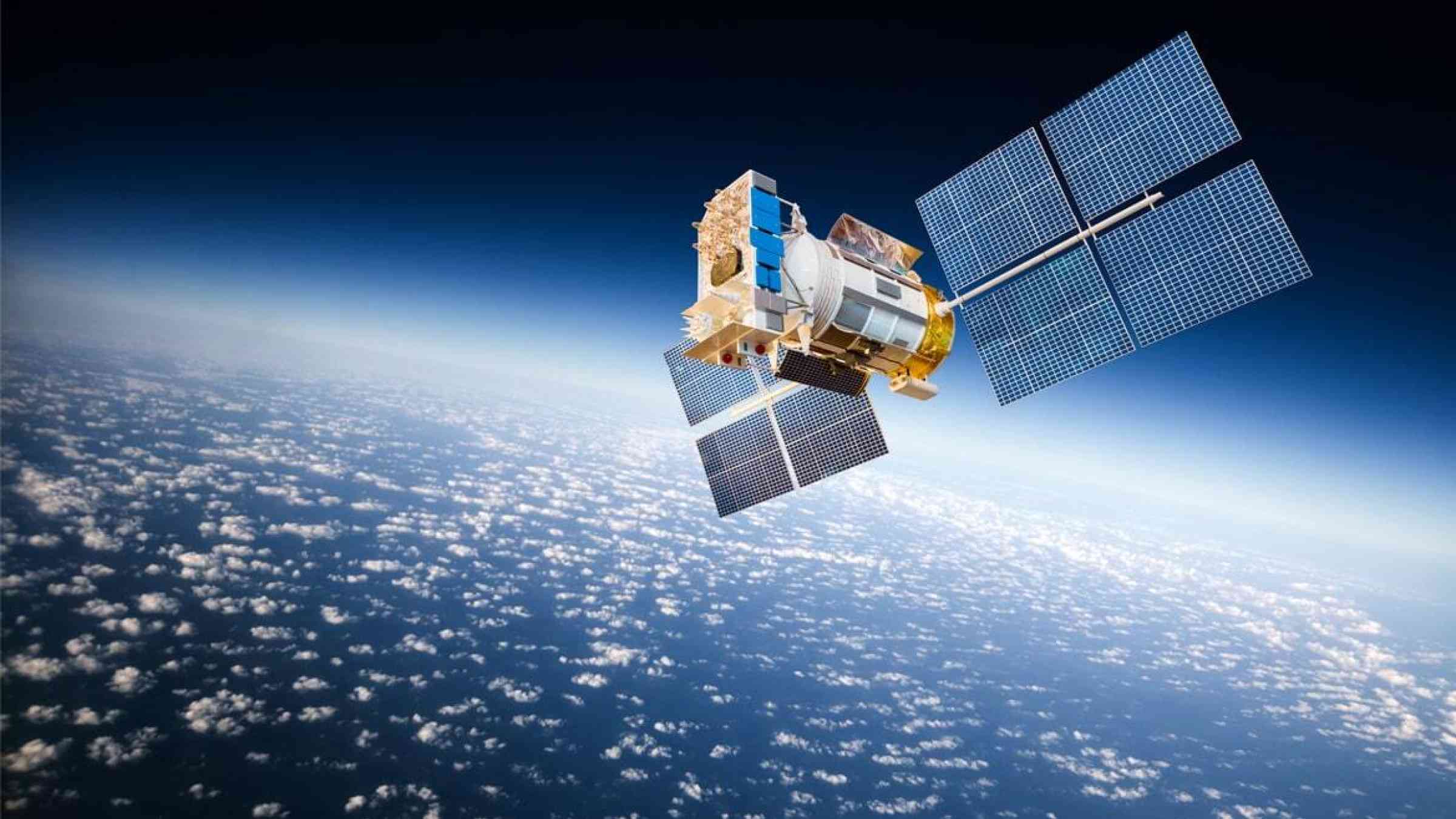
NOAA satellites help us prepare for severe weather

Spring is on the horizon. With the promise of warmer temperatures and blooming flowers also comes an increased risk of severe weather. NOAA’s geostationary (GOES East and GOES West) and polar-orbiting (Suomi NPP and NOAA-20) satellites monitor the changing weather patterns that come with the transition from winter to spring. Mar. 6–10, 2023, is Severe Weather Preparedness Week.
As the potential for severe thunderstorms, hail, tornadoes, dangerous lightning, and flooding increases, NOAA satellites work together to provide critical data for weather forecasts and severe weather warnings. They also aid emergency responders to help keep our communities safe.
During a severe weather event, GOES-16 (GOES East) and GOES-18 (GOES West) keep constant watch over a storm. The satellites provide near real-time information about cloud properties, revealing the presence of overshooting tops, gravity waves, and above-anvil cirrus plumes, which indicate a storm may be severe. They also provide information about the temperature of the cloud tops. The colder the cloud top, the more likely the storm is producing heavy rain and severe weather. The satellites help forecasters track rapidly-changing weather conditions, determine how fast wind speeds will be at various levels of the atmosphere, identify when a storm is becoming severe, and predict where the storm will move next.
GOES-16 and GOES-18 also monitor lightning activity with the Geostationary Lightning Mapper (GLM) instrument. GLM detects total lightning (in-cloud, cloud-to-cloud, and cloud-to-ground) activity and reveals the extent of lightning flashes and distance they travel. Rapid increases in total lightning activity often precede severe and tornadic thunderstorms. GLM data can help alert forecasters that a storm is intensifying before it produces damaging winds, hail or tornadoes.
Lightning is a significant threat to life and property, and is particularly hazardous for those working outdoors and participating in recreational activities. GLM data provides awareness of local lightning conditions and promotes better lightning safety decisions, leading to fewer lightning-related injuries and deaths. In large, long-lived storm systems, lightning may travel hundreds of miles before striking the ground. GLM can show forecasters areas far from the main line of storms where the risk of lightning strikes to the ground presents a public safety hazard.
GLM can not only detect current lightning activity, but its data, along with data from the GOES-16 and GOES-18 Advanced Baseline Imager (ABI), can also help predict the occurrence of lightning in the future. Scientists are using artificial intelligence (AI) to predict where GLM will observe lightning. To accomplish this, a sophisticated machine-learning algorithm was trained, using GLM data, to recognize complex patterns in ABI imagery that often precede lightning activity.
This AI model, called ProbSevere LightningCast, predicts where lightning is most likely to occur even before precipitation forms. It also indicates where lightning remains a threat in storms with intermittent lightning activity and helps determine when the threat from lightning is diminishing. The AI tool can accurately predict lightning up to 60 minutes before the first observation of lightning flashes. Clear predictive signals often emerge before rain forms, ahead of weather radar signals.
NOAA’s JPSS satellites gather global measurements of conditions in the atmosphere, oceans, and on land as they travel around the Earth each day, including temperature, moisture, clouds, rainfall, and more. They can also collect data from polar regions where other observational data are sparse.
The sophisticated meteorological data and observations collected aid in daily and long-term monitoring and forecasting. NOAA’s National Weather Service uses this data to learn more about a storm’s direction and intensity as well as increase the accuracy of forecasts three to seven days in advance of a severe weather event. These forecasts allow for early warnings and enable emergency managers to make timely decisions to protect American lives and property, including ordering effective evacuations.
Spring storms can bring heavy rainfall that leads to flooding. Accurate, timely, and reliable information on rainfall is vital for predicting flash floods and responding to flood events. NOAA satellite data is used to create comprehensive flood zone maps. These maps, along with aircraft, unmanned drones, and ground assets help determine the impact of a storm – where flooding is happening, what the extent is, as well as how long it will last and what damage has occurred. The flood maps are provided to FEMA, local emergency managers, and first responders to help them quickly determine where to employ limited resources, where to issue evacuations, when it’s safe for people to return to their homes, and where to focus recovery efforts.