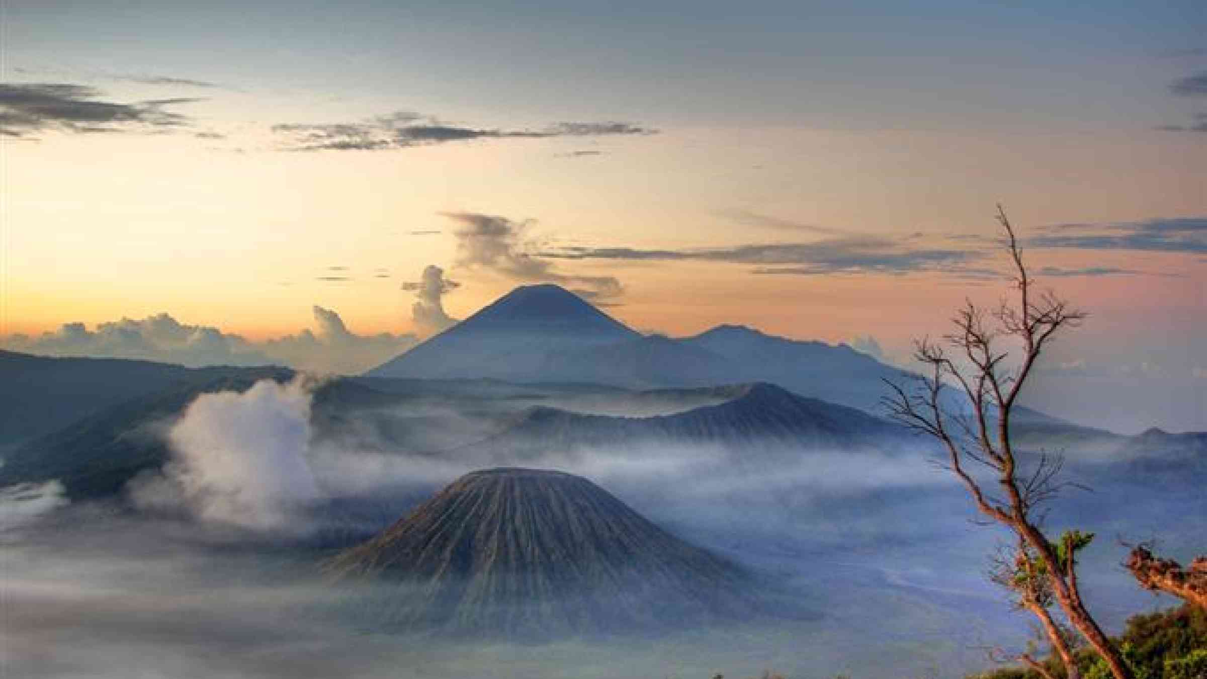
In early September of 2010, a pattern of increased earthquake activity occurred at the Mount Merapi volcano in Indonesia. A few days later, an avalanche was observed south of the mountain, and white plumes were seen rising above the crater. A lava dome detected in March began to increase rapidly.
Revolutionizing Volcano Monitoring in Indonesia
The Indonesian government raised the volcano’s alert level to two (on a scale of one to four). An imminent eruption was evident once lava began flowing from the volcano down the Gendol River in late October. Officials documented more than 500 volcanic earthquakes during that period.
The alert level was raised to four. Flows of hot rocks, ash, and volcanic gases moved toward communities as the largest eruption of Mount Merapi in over a century became a reality.
Thankfully, the eruption was successfully anticipated, and more than 70,000 people were safely evacuated.
Saving Lives through International Partnerships
Indonesia has the world’s greatest at-risk population for volcano hazards and is the most volcanically active nation on Earth.
Before the Mount Merapi eruption, the Indonesian Center for Volcanology and Geologic Hazard Mitigation (CVGHM) requested assistance from the Volcano Disaster Assistance Program (VDAP) to improve volcano monitoring.
“VDAP revolutionized volcano monitoring in Indonesia,” said Raden Sukhyar, former Director of the Indonesian Geological Agency.
“CVGHM saves lives and VDAP strengthens that ability,” said Pak Surono, a consultant to CVGHM who was the Director when the partnership was established.
VDAP is the only international volcano crisis response team that rapidly deploys experts, donates and installs monitoring equipment, and works with international counterparts to keep eruptions from becoming disasters. VDAP supports in-country scientists and agencies at the host country’s request.
U.S. Government’s Role
VDAP is a joint effort between the U.S. Geological Survey (USGS) and the U.S. Agency for International Development’s Office of U.S. Foreign Disaster Assistance (USAID/OFDA). The USGS provides scientific and technical expertise, while USAID/OFDA is responsible for leading the U.S. Government’s response to disasters overseas.
VDAP continues to work with CVGHM in both crisis response and capability building. VDAP support includes consultation, providing remote sensing data, assistance with infrastructure, and helping to forecast eruptions. VDAP provides in-person training in Indonesia and the United States.
“Given the high population in Indonesia and the numerous active and potentially deadly volcanoes in the country, we are always concerned that an eruption can have a significant impact on at-risk populations,” said Gari Mayberry, the USGS-USAID Geoscience Advisor.
Responding to Crises and Improving Indonesia’s Own Capacities
“VDAP has been very important in developing [the] scientific capability of the Indonesian volcanologists and thus helpful for a better decisionmaking process during a volcanic crisis,” said Pak Kasbani, head of CVGHM.
For example, VDAP provided satellite radar data that were especially helpful in 2010 by allowing observers to “see through” clouds that obscured Mount Merapi. Other VDAP projects include improving monitoring networks in the archipelago islands and setting up a new regional volcano observatory in North Sulawesi.
“We are very pleased with the way the VDAP's personnel communicate with CVGHM's personnel. We feel the spirit of egality and fraternity within the cooperation,” said Kasbani. “The work of VDAP within our cooperation is therefore deeply appreciated and will make a positive difference for the future of volcano monitoring development in Indonesia.”
Domestic Return to America
The United States has approximately 169 active volcanoes. Worldwide access to volcanoes and collaboration with international scientists improves our Nation’s ability to understand potential threats locally and develop mitigation strategies.
For example, VDAP responded to multiple international eruptions in the 1990s, and those experiences allowed USGS scientists to develop a successful national-scale plan for volcano monitoring in the United States. This plan, the National Volcano Early Warning System (NVEWS), provides a framework for threat assessment and prioritizes monitoring network upgrades and instrument installments to ensure that volcanoes are accurately monitored in the event of a volcanic crisis.