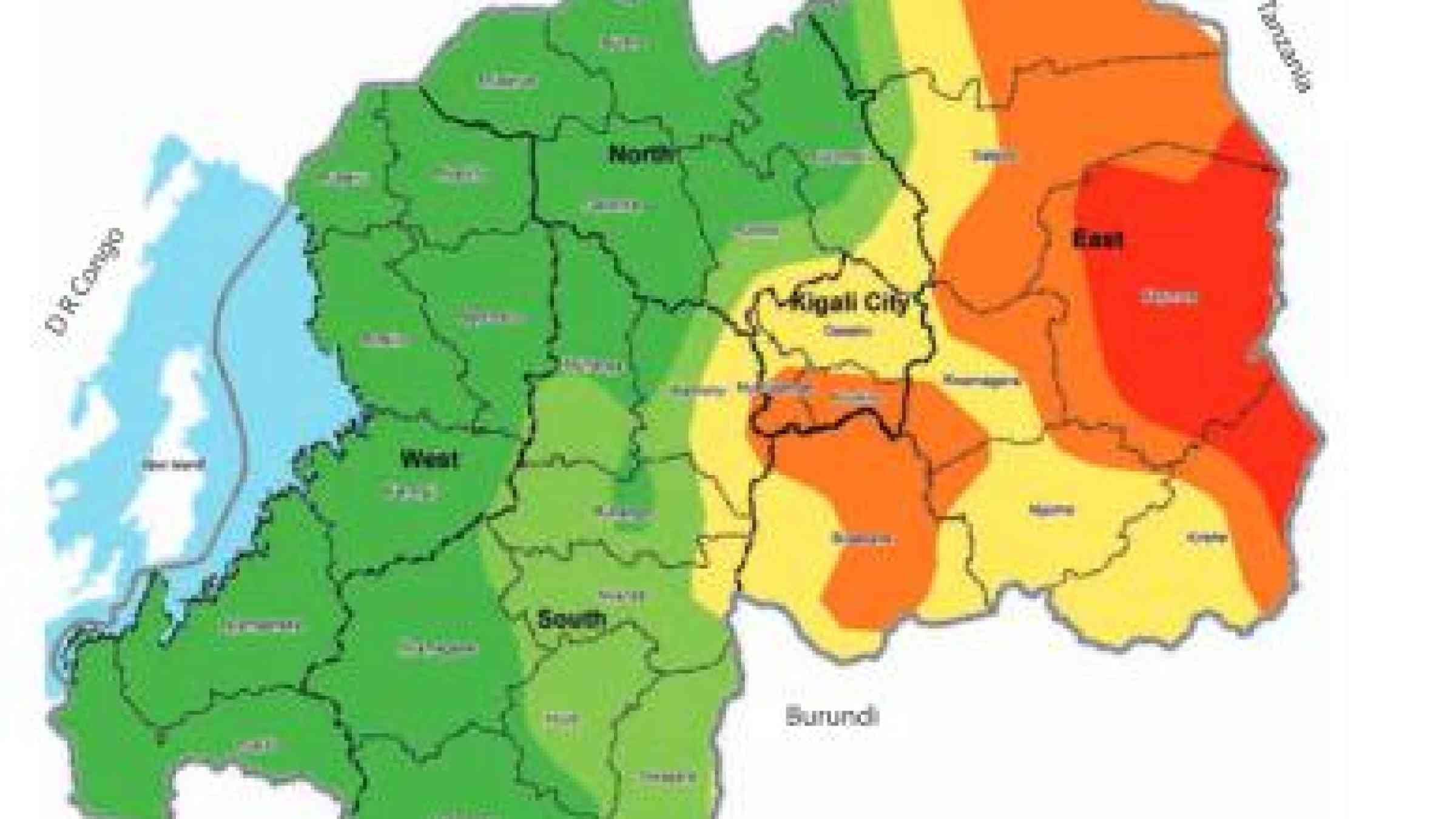
The National Risk Atlas, a new document with maps providing a comprehensive disaster risk profile of the country, was on Monday published by the Ministry of Disaster Management and Refugee Affairs (MIDIMAR), reports New Times.
According to the article, Jean Baptiste Nsengiyumva, the Director of Risk Reduction and Preparedness at MIDIMAR, said “Previously, we knew there were many risk areas but we found it hard to tell the degree of danger but the maps now show the area and the degree of risk.” The atlas presents results of the hazard assessment and mapping of five major hazards that prevail in Rwanda: drought, landslides, floods, earthquakes and windstorms.
Explore further
Themes
Data and information management
Risk identification and assessment
Governance
GIS and mapping
Disaster risk management
Country and region
Rwanda
