Sri Lanka: Making disaster risk information available
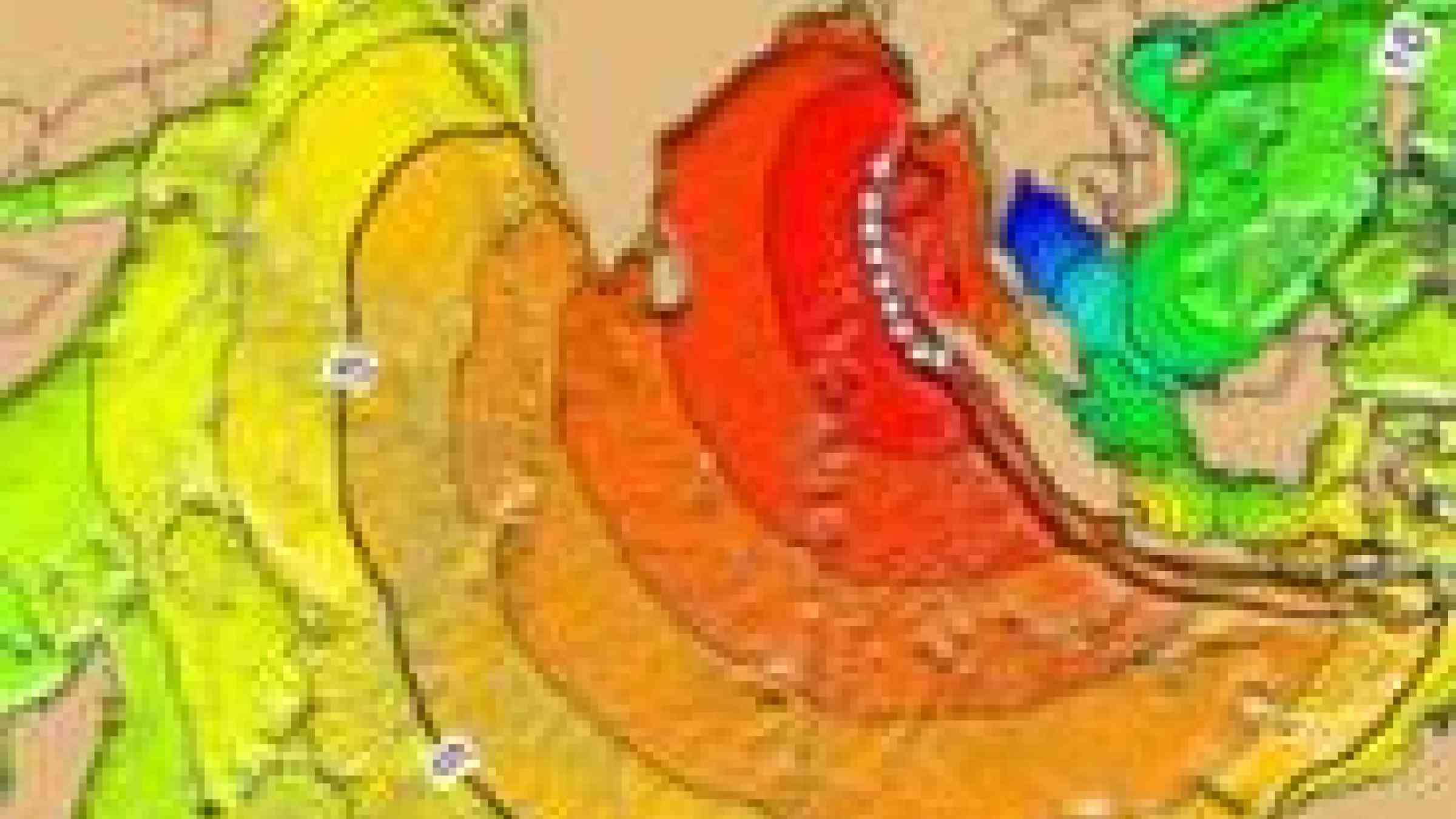
Sri Lanka is a country affected by a variety of hazards including Drought, Flood, Mass Movement, Severe Storm or Tsunami. In order to make information on disaster risks in Sri Lanka more easily available, the Disaster Management Center (DMC) in partnership with UNDP, NGOs and GDFRR Labs launched the Sri Lanka Disaster Risk Information Platform (RiskInfo).
The purpose of RiskInfo is to make disaster risk information available to all the stakeholders and the public in order to facilitate disaster risk reduction and recovery efforts. The data sharing platform is built using the open source software GeoNode that is designed to enable collaborative use of geospatial data and maps.
RiskInfo lets users compose and share maps. Users can create a map with a cartography tool, or explore maps shared by others. Additionally, RiskInfo allows for uploading, managing, and browsing of data. Users can search for data that is valuable to them, or upload their own data.