U.S. Geological Survey responds to Tropical Storm Debby in South Carolina
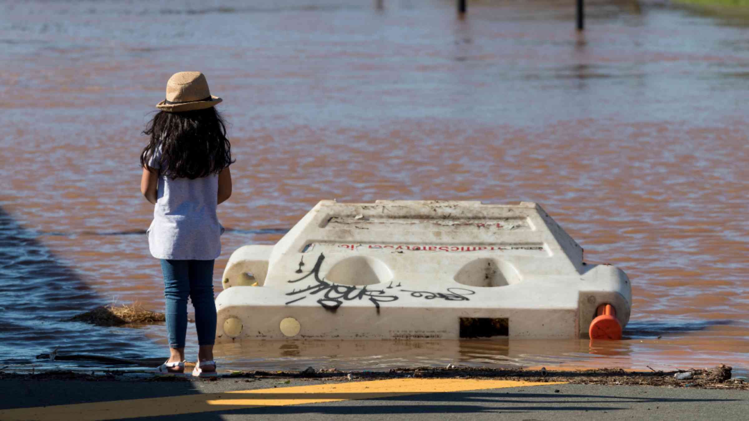
The U.S. Geological Survey installed eight rapid deployment gauges Monday and Tuesday to augment its network of near real-time streamgages and track rising waters and flow brought by Tropical Storm Debby's rainfall.
The storm strengthened to a Category 1 hurricane before making landfall on the west coast of Florida early Monday.
According to the National Hurricane Center, Debby is set to bring "historic amounts of rainfall."

Sources/Usage: Public Domain. View Media Details
The South Carolina Department of Transportation requested the USGS deploy rapid deployment gauges along transportation routes predicted to experience flooding.
"Adding the rapid deployment gauges provides a real-time assessment of flooding during the storm in some of those areas where we don't already have a gauge," said Whitney Smith, a USGS South Atlantic Water Science Center assistant director for data. Smith explained that some of the roadways where SCDOT requested the gauges are prone to overtopping-when floodwaters flow unimpeded across roads.
Smith explained the data can also be used after the storm for uses such as assisting in planning for future hurricanes through model calibration and to develop flood inundation maps.
One additional rapid deployment gauge, requested by the South Carolina Department of Environmental Services, was installed on July 31 outside Bennettsville, South Carolina, to assist in flood prediction and situational awareness of a potential dam spillway failure at Lake Wallace.
"Rapid deployment gauges are important to inform decisions that can help protect life and property," Smith said. "Considerable flooding impacts are expected across southeast Georgia and along the Carolina coasts throughout the week."
Streamgages transmit data for use by federal and state agencies, emergency managers, and community planners, enabling them to track and respond to rising waters. The data are also pivotal to the National Weather Service's flood forecasts. The information is also available to the public on the USGS the National Water Dashboard and the USGS Flood Inundation Mapper.
The gauges will remain deployed until flood waters recede.