Data-driven, climate resilient flood management
By Andrea Egan, Raduska Cupac, Sladjana Bundalo
For Zeljko Cejic, an engineer in Banja Luka, the lack of advance notice meant that wife Natasa and daughter Sofia (then 6), son Phillip (then 3 months) had to escape via Sofia’s bedroom window.
The extensive flooding and landslides in 2014 affected over a million Bosnia and Herzegovina (BiH) citizens, impacting 75,000 homes (of which 25,000 were severely damaged or destroyed), displacing 90,000 residents and killing 25 . Over 3,000 landslides were recorded , and officials feared that the damage from the extreme weather ‘would exceed that caused by the entire Balkan conflict’.
How much would a flood cost you?
Bosnia and Herzegovina is significantly exposed to the threats of climate change, in particular the frequency and magnitude of floods from its major rivers. Tripling in frequency in the last decade, recurrent floods and landslides are erosive and damaging to human life and socio-economic gains. In previous floods these losses have been exacerbated by limited capacity to anticipate and respond.
In the past two years alone, the magnitude of disasters increased significantly in the Western Balkans, affecting 15 times more people and causing economic losses 30 times higher than the previous decade. For Zeljko and his family, it has taken 1.5 years to rebuild and start to recover. They had to discard furniture, electronics, books, photos, and personal effects. For the family, their pictures and books were the hardest to lose.
Translating knowledge into action
Understanding that advanced warnings can save lives and limit economic losses, the project “Technology transfer for climate resilient flood management in Vrbas River Basin” is working to establish a network of hydro-meteorological stations.
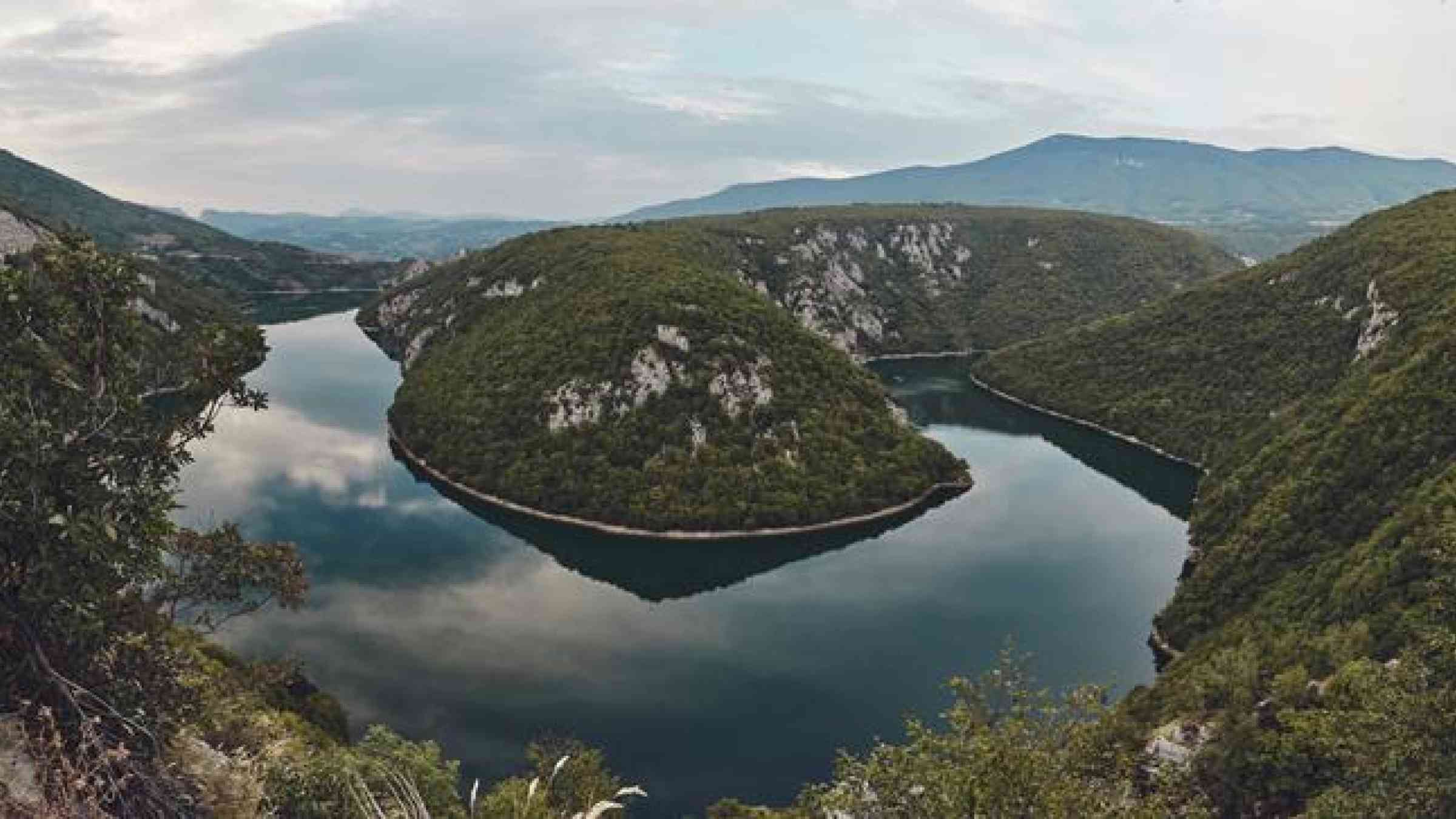
The Vrbas River basin – home to Bugojno, Jajce, Čelinac, Laktaši, Banja Luka and other cities - is characterised by a large rural population comprised of the poorest and most vulnerable communities in BiH, including war returnees and displaced people, with high exposure to flooding and its devastating impacts.
The establishment of a network of hydro-meteorological stations in the Vrbas River basin, which entails the integration and centralisation of hydrometric databases within BiH’s hydro-meteorological institutes, forms the basis for the river’s flood forecasting and early warning systems.
This new, cohesive hydro-meteorological network is comprised of a total of 20 rainfall, 2 meteorological, and 6 hydrological automatic measuring stations. The equipment installed allows the automatic measuring of water level and discharge, rainfall, and other meteorological parameters of the Vrbas River basin in real time.
Building partnerships and creating ties
Working closely with state, entity and local governments and institutions, the project is working to develop a flood forecasting system and early warning system, and also to develop emergency response plans, with flood-response trainings for civil protection units. Recognising that building relationships is imperative in addressing natural disasters, the project is working to ensure that there is a cohesive system in place across the municipalities and entities which make up BiH.
Functional early warning systems and disaster response require a quick and decisive reaction. In order to achieve this, cooperation among various administrations is imperative. Timely information and coordinated among responsible institutions can save lives and livelihoods.
A river runs through it
River basins, such as Vrbas, know no administrative boundaries, and establishing efficient coordination requires advanced planning. This is especially true in BiH as the project team works to rebuild and repair partnerships in the fractured post-conflict landscape. The Vrbas River Basin, including the river itself and its tributaries, weaves through BiH’s 2 entities, 1 canton and 28 municipalities.
Working to enhance the monitoring network and ensuring that the entire system is interconnected, the data from the hydrological, rainfall and meteorological stations will ensure that decision makers have timely and precise information – allowing them to do whatever it takes to suffer the least possible damage.
For Zeljko, as he points out the water line on the side of his house, the floods of 2014 seem like a surreal memory.
By improving flood forecasting and early warning systems, the project is working to ensure that the governments of BiH and the communities of the Vrbas River Basin are able to establish climate resilient flood management, protecting families and giving them confidence that future hazards won’t arrive without warning.