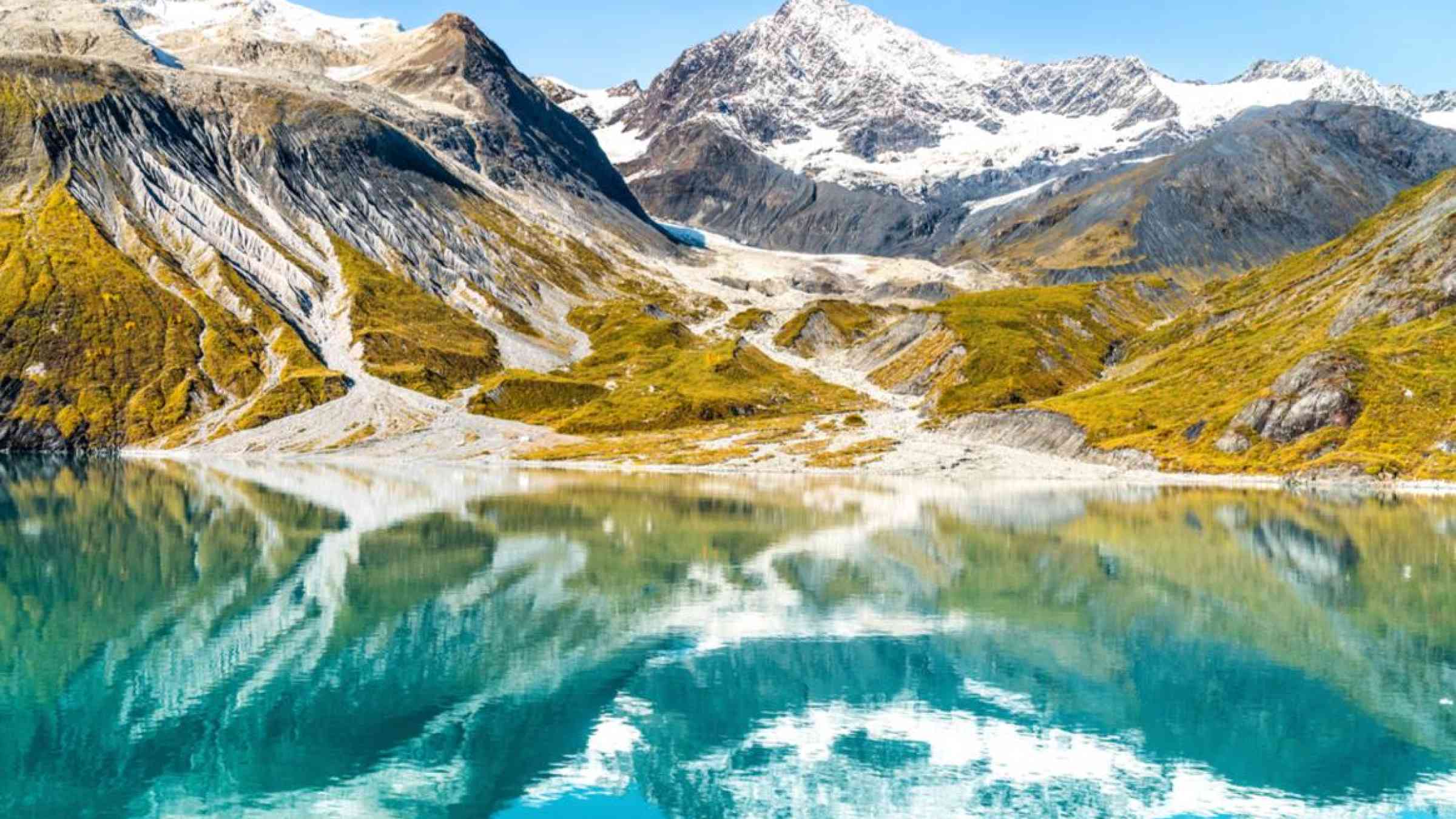
A relief and rescue operation is underway in Uttarakhand in the Indian Himalayas, after a part of the Nanda Devi glacier broke off and collapsed causing a massive massive flood in the Rishi Ganga /Dhauliganga river, reportedly causing loss of life and the destruction of two hydropower plants, bursting open existing dams, and other infrastructure . Many casualties were feared, alongside widespread environmental damage in an ecologically fragile area of Uttarakhand.
The exact cause of the disaster is yet to be ascertained. Early assessments indicate that the event involved a large avalanche of ice and rock. The role of climate-related drivers, and climate change, was not immediately clear. This was not the first such avalanche from these slopes, as experts have identified a similar (but smaller) event from late-2016.
The Indian Meteorological Department, monitored and reported melt in the region by the 96 hours (4-day) melt volumes shown below ending at the time of the event (Fig 1), as part of the South Asia Flash Flood Guidance System (SAsiaFFGS), implemented in collaboration with WMO.
IMD has reported higher temperatures at the approximate time of the event (20210207 0600Z) than in the previous four daysr, with higher mean areal temperature intrusions to the north of the region. The 6 hour-average GMAT product (gauge mean areal temperature over basins) is based on data from surface temperature stations and on Global Forecast System (GFS) analysis/short-term temperature forecasts for interpolation (Fig 2).
An international group of scientists on Glacier and Permafrost Hazards in Mountains (GAPHAZ), which is part of the International Association of Cryospheric Sciences (IACS) and the International Permafrost Association (IPA), is supporting Indian scientists and India’s Naitonal Disaster Management Authority in assessing all available sources of information, including satellite imagery, in order to build an understanding of the event and potential lessons learned.
“The visuals are frightening and heartbreaking. This is once again a grave reminder about how our shared mountain region is fragile and vulnerable to a multitude of geological and natural processes. And it is a grave reminder that vulnerabilities are exacerbated by climate change,” wrote Pema Gyamtsho Director-General of the Nepal-based International Centre for Integrated Mountain Development (ICIMOD), which works closely with WMO’s Global Cryosphere Watch network.
This is not a singular event. A similar event was the Seti River disaster from Nepal in 2012. The effects of climate change together with the development of mountain regions require a more sustained, timely and accurate understanding of changes and impacts on the mountain environments, to support decisions on development of warning systems and adaptation.
High Mountain Summit
The increased risks in mountain environments as a result of accelerated changes in cryosphere and the need for continuous monitoring of mountain conditions, in particular the focus on monitoring changes in snow, glaciers, and frozen ground (permafrost) conditions, has been highlighted at the WMO’s High Mountain Summit in October 2019. The Summit Call for Action emphasised urgency of s more sustainable development, disaster risk reduction and climate change adaptation both in high-mountain areas and downstream.
“The high mountain regions are the home of the cryosphere, and source of global freshwater that are transmitted by rivers to much of the world. Preservation of ecosystem function and services from these regions is essential to global water, food and energy security,” says the Call for Action.
“Climate change and development are creating an unprecedented crisis in our high mountain earth system that threatens the sustainability of the planet. There is great urgency to take global action now to build capacity, invest in infrastructure and make mountain and downstream communities safer and more sustainable. This action must be informed by science, local knowledge and based on transdisciplinary approaches to integrated observations and predictions,” according to the Call for Action.
The Intergovernmental Panel on Climate Change Special Report on the Ocean and Cryosphere in a Changing Climate had a chapter devoted to High Mountain Areas, including sections on observed impacts as well as future risks. One of the conclusions was that that “glacier, snow and permafrost decline has altered the frequency, magnitude and location of most related natural hazards … Exposure of people and infrastructure to natural hazards has increased due to growing population, tourism and socioeconomic development (high confidence).
ICIMOD’s Hindu Kush Himalaya Assessment report provided further information.
Weather and Climate Services
The WMO community is working to strengthen weather and climate services over mountain regions. At a recent virtual symposium, India Meteorological Department Director-General Mrutunjay Mohapatra highlighted the need to accelerate the implementation of the Third Pole Regional Climate Centre network, Initiated in 2018 under the leadership of WMO, with an active role of IMD, This would provide weather-related advices within the country but also to its neighbours, as well as climate information reflecting mountain conditions .
At the symposium, WMO Deputy-Secretary-General Elena Manaenkova highlighted the need for more monitoring and assessment of changes in snow, glaciers, and frozen ground conditions. These goals are facilitated in the framework of the Global Cryosphere Watch of WMO, which will foster the access to sources of cryosphere observations and data from the region, and the development of relevant assessments on changes in cryosphere as hazards in mountain environments.
Sustained monitoring of changes is possible by accessing satellite observations which provide information for high mountain regions which are inaccessible for other technologies. With coordination from the WMO Regional Coordination Groups on Satellite Data Requirements and in collaboration with GCW, a stronger focus is planned on supporting Members in the region in addressing requirements for specific satellite data and products with a focus on mountain regions.