Virtual rockfalls enter their test phase

The new RAMMS::rockfall computer model, developed by the Swiss Federal Institute for Forest, Snow and Landscape Research (WSL), is the first software capable of realistically simulating rockfalls. Today, the program's test phase was launched at a workshop. Over the coming months, experts from the field will be able to take a really close look at the model and assess its practical value.
A boulder noiselessly plunges down the grassy slope of a mountain, crashes into a steep rock face, is propelled several meters into the air and crashes to an abrupt halt on a road winding through the valley below. A second, larger boulder follows, but gets caught up in trees on a densely wooded slope, remaining higher up the mountainside. Thousands more simulated rocks and boulders follow, rolling and jumping, all generated by the new RAMMS::rockfall computer program. The rockfall model was jointly developed by the WSL in and the Department of Mechanical & Process Engineering at ETH Zürich to improve our understanding of the processes involved in rockfalls and thus enable Switzerland to offer better protection against them.
Today, the WSL is unveiling its new rockfall model to experts in the domain. Over the coming months, civil engineers, geologists and experts in natural hazards will be able to test it for free. At the same time, researchers will be able to compare the computer-generated data with actual past events, like the rockslide in Wilerwald near Gurtnellen in the canton of Uri or the rockfalls in the Murg Valley near Murg in the canton of St. Gallen. The aim during this test phase is to improve the model to make it capable of making realistic predictions about rockfalls. In 2014, the RAMMS::rockfall program is due to become commercially available, and it has the potential to become an important tool for engineering companies, design offices and rockfall protection or hazard mapping service providers.
Where, how high and at what speed?
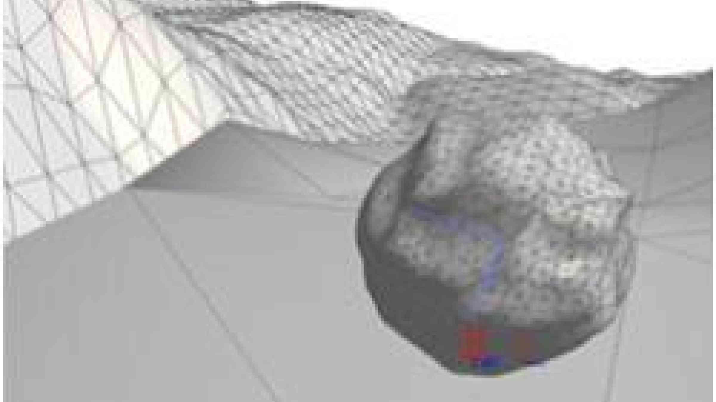
For the first time the new computer model can simulate how realistically shaped boulders behave. This is a major step forward, since previous programs were merely capable of simulating simple forms, like spheres or cubes. What is more, the RAMMS::rockfall program can depict types of terrain and vegetation more realistically than ever before. During each computer-generated rockfall, the model uses newly devised rules to calculate boulders' response to each contact with the ground, simulating how high and far they will jump, at what speed they will hurtle down towards the valley below, how their shape will alter their trajectory and where they will land, be stopped or naturally come to rest.
Once the computer has calculated a large number of rockfall events for a particular area, it will map the distribution of the areas affected. Of particular interest in this connection is finding out where most boulders will come to rest, since that is where the risk of rockfalls is highest. In this way, such data will help to identify endangered areas and indicate them on cantonal maps of danger hotspots.