Where and how sea-level rise threatens coastal areas and communities
To better understand how sea-level rise threatens coastal areas, scientists propose a new indicator to estimate the risk of coastal flooding under climate change.
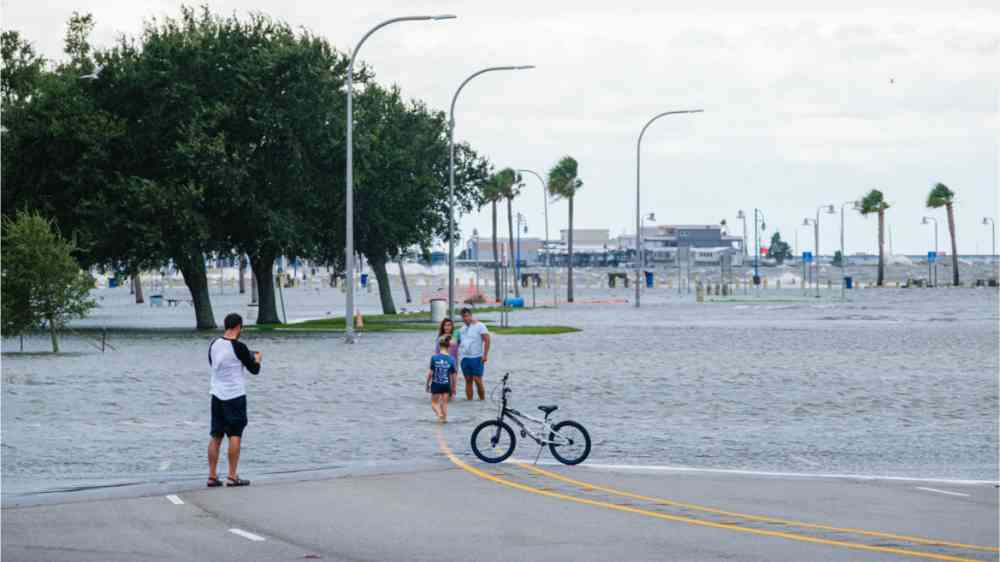
Sea-level rise (SLR) increasingly threatens coastal communities around the world. However, not all locations are equally threatened, and realistic estimation of hazard is difficult. Understanding SLR impacts on extreme sea-level is challenging due to interactions between multiple tidal and non-tidal flood drivers.
Moftakhari et al. [2024] propose a new indicator, the “Potential Maximum Storm Tide” (PMST) to estimate the risk of coastal flooding under climate change. By analyzing global hourly tidal data to understand how and why tides and surges interact with mean sea-level (MSL) fluctuations, the authors find that in the East and Gulf coasts of United States, southwestern coasts of Europe, East Asia and northern coasts of Australia, a higher extreme coastal water level is expected by the mid-century, where PMST shows positive trends. Among all studied sites, those with micro- and meso-tidal range and with diurnal tidal regime are most sensitive to sea-level rise.