The 2017 large wildfire of Braga - evaluation of the different conditions of the burned vegetation
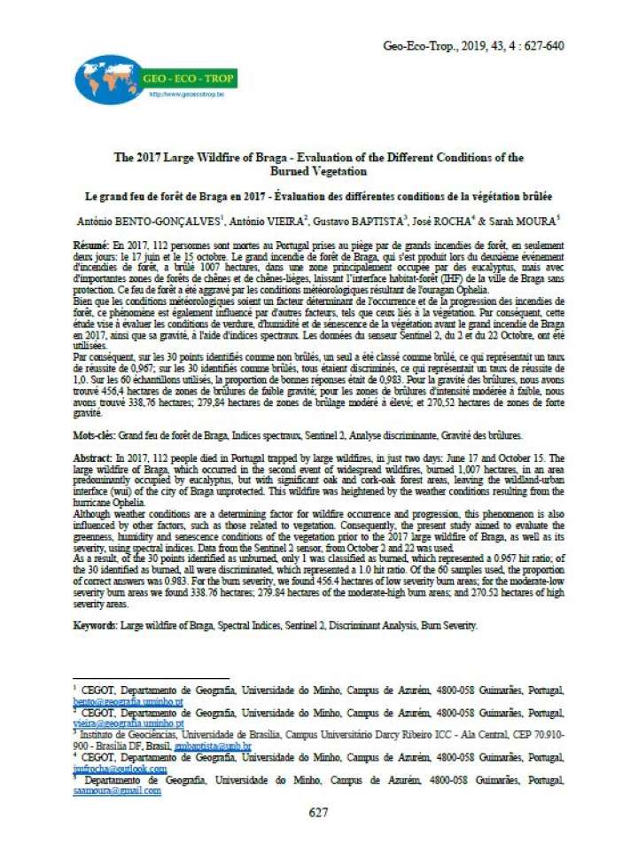
In 2017, 112 people died in Portugal trapped by large wildfires, in just two days: June 17 and October 15. The present study aimed to evaluate the greenness, humidity and senescence conditions of the vegetation prior to the 2017 large wildfire of Braga, as well as its severity, using spectral indices. Data from the Sentinel 2 sensor, from October 2 and 22 was used. The large wildfire of Braga, which occurred in the second event of widespread wildfires, burned 1,007 hectares, in an area predominantly occupied by eucalyptus, but with significant oak and cork-oak forest areas, leaving the wildland-urban interface (wui) of the city of Braga unprotected. This wildfire was heightened by the weather conditions resulting from the hurricane Ophelia.
Although weather conditions are a determining factor for wildfire occurrence and progression, this phenomenon is also influenced by other factors, such as those related to vegetation.As a result, of the 30 points identified as unburned, only 1 was classified as burned, which represented a 0.967 hit ratio; of the 30 identified as burned, all were discriminated, which represented a 1.0 hit ratio. Of the 60 samples used, the proportion of correct answers was 0.983. For the burn severity, we found 456.4 hectares of low severity burn areas; for the moderate-low severity burn areas we found 338.76 hectares; 279.84 hectares of the moderate-high burn areas; and 270.52 hectares of high severity areas.
Explore further
