ADAM Automatic Disaster Analysis & Mapping
This document outlines the features, characteristics, and functions of the Automated Disaster Analysis and Mapping (ADAM), a tool developed by the UN World Food Programme for automatically collecting, analysing and mapping geospatial and socio-economic data related to natural hazard events.
ADAM is performing a 24/7 research, collection, analysis and mapping of disaster-related data on a global scale, in order to reduce the time between the occurrence of an event and the time when the field-level response starts:
- ADAM is immediately activated following the occurrence of a natural hazard,
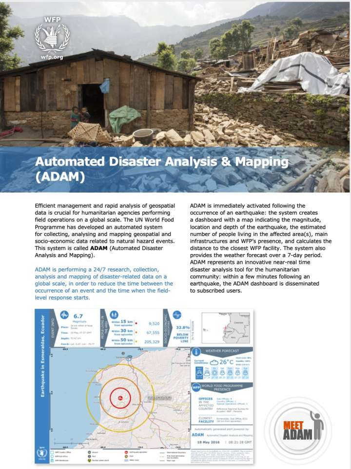
- The system creates a dashboard with a map indicating, for example, the magnitude, location and depth of an earthquake, the estimated number of people living in the affected area(s), main infrastructures and WFP’s presence, and calculates the distance to the closest WFP facility,
- The system also provides the weather forecast over a 7-day period. ADAM represents an innovative near-real time disaster analysis tool for the humanitarian community, and
- Within a few minutes following a natural hazard event, the ADAM dashboard is disseminated to subscribed users.
Explore further
