Applied Earth observations for the disaster management sector
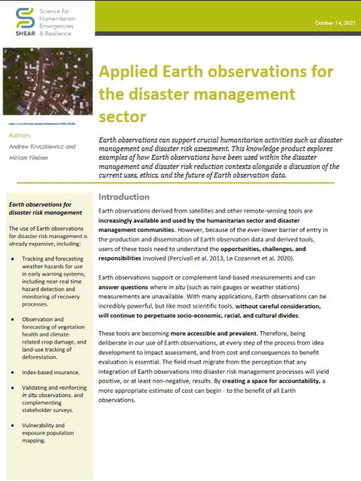
This SHEAR knowledge product explores examples of how Earth observations have been used within the disaster management and disaster risk reduction contexts alongside a discussion of the current uses, ethics, and the future of Earth observation data. Earth observations derived from satellites and other remote-sensing tools are increasingly available and used by the humanitarian sector and disaster management communities. However, because of the ever-lower barrier of entry in the production and dissemination of Earth observation data and derived tools, users of these tools need to understand the opportunities, challenges, and responsibilities involved.
Being deliberate in our use of Earth observations, at every step of the process from idea development to impact assessment, and from cost and consequences to benefit evaluation is essential. The field must migrate from the perception that any integration of Earth observations into disaster risk management processes will yield positive, or at least non-negative, results. By creating a space for accountability, a more appropriate estimate of cost can begin - to the benefit of all Earth observations.
Explore further
