Atlas of Jordan
Title in original language
Atlas de Jordanie
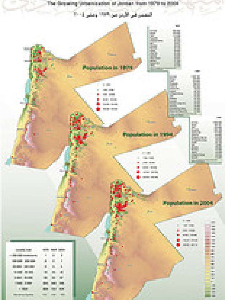
The Atlas of Jordan provides 17 thematic maps on social and environmental issues, distributed over various areas and over time, including expansion of drought, water balance and polarization; population growth, density and distribution; migration and urbanization trends; land use planning and settlement patterns.
These maps contribute to identify existing and future physical and social vulnerabilities to disasters, such as land use plans, migration patterns and water shortage. The maps can serve as a source for sustainable development planning, with integrated disaster risk reduction measures.
The work combines different scales of analysis (localities, urban areas, subdistricts, districts, governorates and regions) to present the dynamics of the Jordanian territory in a new way.
The work on the Atlas of Jordan began in January 2006 with a team of researchers from the French Institute of Near East Studies, under the supervision of Dr. Myriam Ababsa. The 17 main plates of the Thematic Atlas of Jordan were exhibited in Amman in 2009. The project is finalized and the Atlas is expected to be published in 2011.
The Atlas is the result of cooperation with several Jordanian institutions including the Royal Geographic Centre, the Department of Statistics, the Ministry of Town Councils, the Ministry of Water, the Centre of Natural Resources, and the Land Registry Department.
The publication is supported by the French National Centre for Scientific Research, the National Research Agency (Citadain project), the Academic Agency of French speakers and the Delegation of the European Union in Jordan.
Explore further
Themes
Climate change
Environment and ecosystems
Risk identification and assessment
Urban risk and planning
GIS and mapping
Water
Food security and agriculture
Country and region
Jordan

Publication year
2006