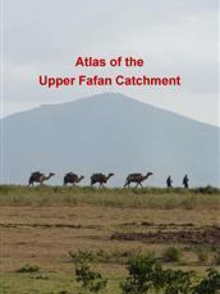
Atlas of the Upper Fafan Catchment
This risk atlas presents a baseline assessment to inform decision makers about challenges and opportunities, directions for strategy development and suitable interventions in the Upper Fafan Catchment in the Somali Regional State of north-eastern Ethiopia - a disaster prone region where rural communities depend heavily on natural resources.
The atlas presents an assessment of the current biophysical and socio-economic situation. The resulting analysis and conclusions, with maps and charts, provides a fundamental understanding of the landscape in order to support sustainable natural resource management.
There is a tendency to attribute the disasters threatening the Upper Fafan Catchment to climate extremes, however, the study finds that challenges are mostly related to failing natural resources management systems. Hence, the project is based on the following ideas:
- Hazards (heavy or little rainfall, for example) are a given. Disasters, such as droughts, floods and famine, can be mitigated.
- Resilience can be built through ecosystem-based adaptation and ecosystem restoration, so that ecosystem services, such as water retention, nutrient cycles and biodiversity, are protected and recovered.
- Biophysical characteristics determine to a large extent the challenges and opportunities.
- Fact-based decision making implies the identification of challenges, opportunities and target priority areas, in such way that the larger landscape profits from investments. Proper assessments, for example, inform where the potential for water abstractions is highest and how to effectively combat invasive species.
This Atlas can be used as a base for Integrated Water and Resources Management, Catchment Management Plans and Land Use Planning. It is accompanied by a Manual for Ecosystem Restoration which includes case studies and implementation guidelines. This approach is replicable in other catchment areas facing environmental degradation and disaster risk.
Explore further
