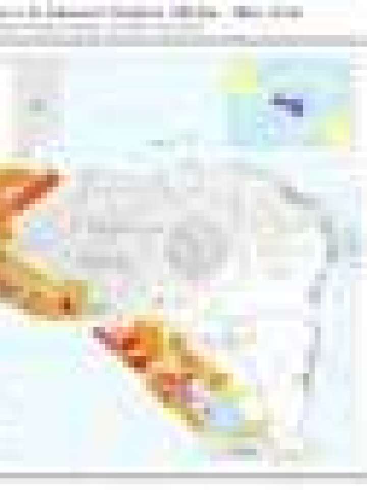
Central America: Population exposure to medium - very high seismic hazard
The intention of this map is to give a quick overview for decision makers on national or regional level about the risk exposure of the population in zones of very high seismic hazard. The classification used here runs from yellow (few people exposed) to red (many people exposed). The class width of the yellow-to-red division has been chosen to facilitate the visual representation of values obtained in the assessment.
Explore further
Hazards
Earthquake
Country and region
El Salvador
Guatemala
Honduras
Nicaragua
Publication year
2010