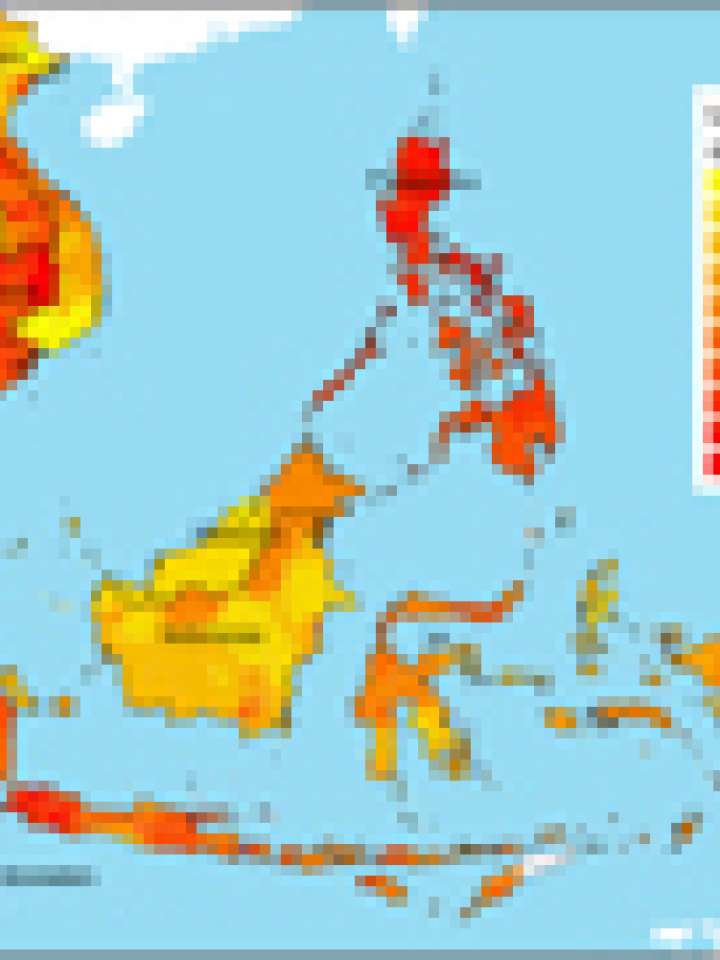
Climate change vulnerability map of Southeast Asia
Climatic hazard maps for five climate related risks-tropical cyclones, floods, landslides, droughts, and sea level rise are generated. Population density is used as the proxy for human sensitivity to
climate hazard exposure. The extent of protected areas is considered the proxy the ecological sensitivity of the respective sub-national areas.
An index of adaptive capacity is also created, as a function of socio-economic factors, technology, and infrastructure. The socio-economic variables comprise the Human Development Index (income,
literacy, and life expectancy), poverty, and inequality.
Finally, an index of overall climate change vulnerability for Southeast Asia is produced. We ranked the regions according to the index and consider those areas falling in the 4th quartile as the vulnerable areas.
Explore further
