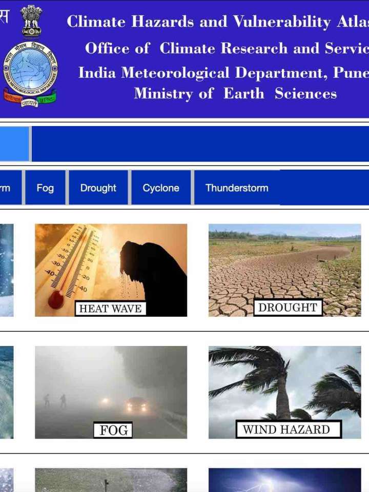
Climate hazards and vulnerability atlas of India
This atlas provides districts maps on hazard events and vulnerability for all the calendar months and at annual scale in India. India Meteorological Department (IMD) monitors and provides impact-based early warning services for various meteorological disaster events at different temporal and spatial scales to support disaster risk reduction management. As a part of these services, IMD has now prepared a Web version of Climate Hazards and Vulnerability Atlas of India for the thirteen most hazardous meteorological events, being cold wave, heat wave, flood, lightning, snowfall, dust storm, hail, thunderstorm, fog, storm, extreme rainfall, drought and cyclone.
The hazard maps are prepared based on the climatological data, census data on population and housing density and using different statistical and mathematical methods. Climate vulnerability maps are prepared based on the disaster data from the annual publication of India Meteorological Department “Annual Disastrous Weather Reports” for the climate hazardous events that cause casualties in terms of death and other losses.
Explore further
