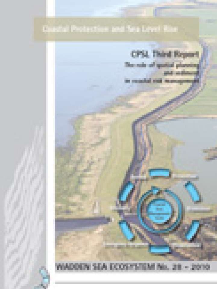
CPSL 2010: Third Report, the role of spatial planning and sediment in coastal risk management
Wadden Sea Ecosystem No. 28.
This report presents the results of the work of Trilateral Working Group on Coastal Protection and Sea Level Rise (CPSL) III that concluded that spatial planning may present a flexible and sustainable tool to deal with the effects of sea level rise. It asserts that spatial planning measures may diminish the risk to the coastal population by reducing the damage likely from flooding and land loss.
The CPSL analysed and assessed the current spatial planning systems and instruments in the Wadden Sea states and concluded that these require further development in order to fully cope with anticipated impacts of climate change. Designation of buffer and flood-hazard zones in coastal regions was seen as an efficient spatial planning option, allowing the prescription and implementation of tailor-made and proportionate regulations for the utilization of coastal lowlands. With regard to sand nourishment CPSL concluded that the first and potentially most sustainable option to combat sediment deficits due to climate change is the enhancement of natural processes (for example sediment trapping, overwash creation); Artificial deposition of sand in strategic locations is another option to avoid sediment deficits and CPSL identified several research questions related to optimal locations, volumes, timing and grain size of the nourishments.
The work of the CPSL III was carried out between December 2006 and December 2009.
Explore further