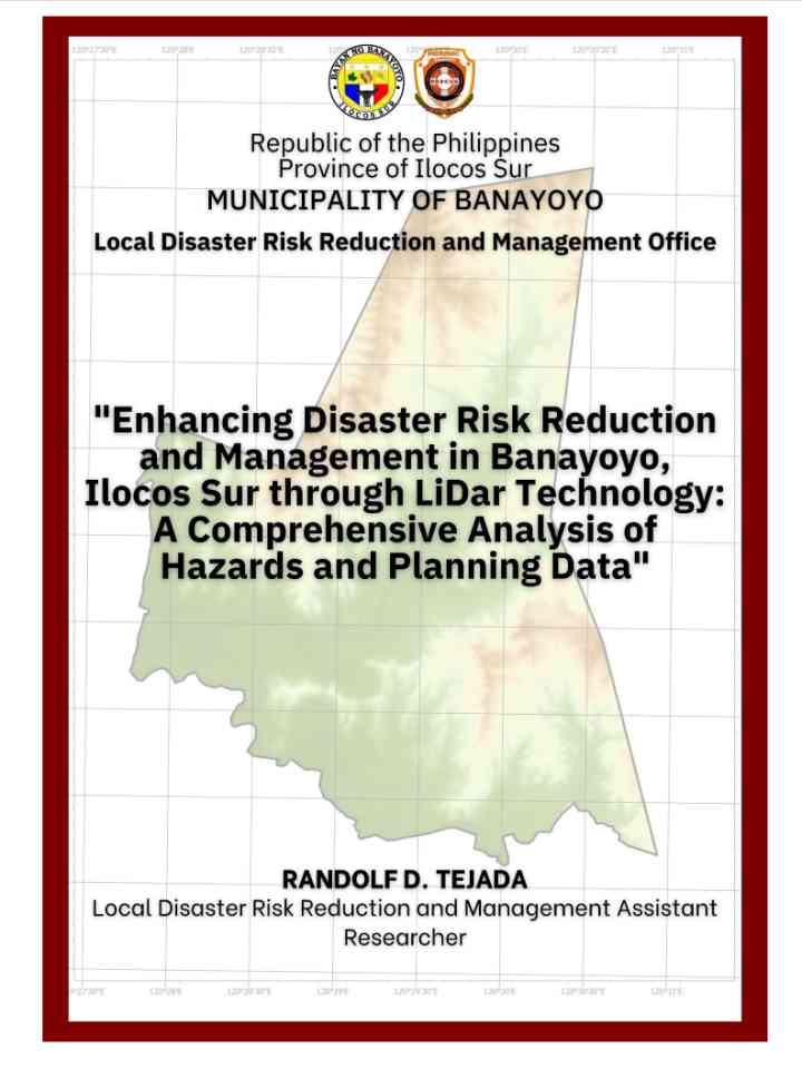
Enhancing disaster risk reduction and management in Banayoyo, Ilocos Sur through LiDar technology: A comprehensive analysis of hazards and planning data
This report provides an in-depth analysis of how LiDAR technology can enhance disaster risk reduction and management (DRRM) in Banayoyo, Ilocos Sur by offering precise, high-resolution hazard maps that improve risk assessments and strategic planning. LiDAR's ability to identify areas prone to landslides and floods makes it a critical tool for building community resilience. However, the study also highlights challenges, such as the need for capacity building for local governments and the high costs and technical expertise required to implement this technology. The comparison with traditional methods shows LiDAR's superior accuracy in disaster planning.
Main recommendations include:
- Expand LiDAR technology use across municipalities to enhance disaster preparedness.
- Invest in capacity-building programs for local authorities in data interpretation.
- Integrate LiDAR data with socio-economic and historical data for holistic DRRM strategies.
- Conduct cost-benefit analyses to assess long-term value for disaster management.
- Regularly update hazard maps to reflect new data and evolving risks.
Explore further
