The first national flood risk assessment: Defining America’s growing risk
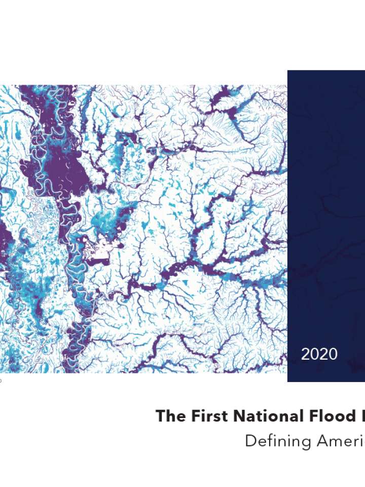
This national report from the First Street Foundation provides a comprehensive national analysis of the state of flood risk in the continental U.S. The findings are the result of the First Street Foundation’s new Flood Model, a high precision, climate adjusted model that assesses flood risk at the individual property level today and into the future. These results are being made publicly available for the first time through a new tool, Flood Factor™, a free online source of high-quality probabilistic flood risk information.
Significantly, the model allows for an understanding of risk from any type of flooding event, including fluvial (riverine), pluvial (rainfall), storm surge, and tidal sources, and addresses the reality that these sources have been, and continue to be, impacted in different ways by changing environmental factors. First Street Foundation’s modelling process has integrated those factors directly into the final risk statistics. In doing so, the model evaluates flooding from multiple risk sources (fluvial, pluvial, surge, and tidal) while also integrating current and future environmental considerations, all at the property level.
At the national level, the First Street Foundation Flood Model identifies around 1.7 times the number of properties as having substantial risk* compared to the FEMA 1-in-100 SFHA designation. This equates to a total of 14.6 million properties across the country at substantial risk, of which 5.9 million properties and property owners are currently unaware of or underestimating the risk they face because they are not identified as being within the SFHA zone. Washington D.C. (438%), Utah (419%), Wyoming (325%), Montana (311%), and Idaho (290%) show the greatest difference between the First Street Foundation Flood Model estimates and FEMA SFHA designation, due mainly to First Street’s nationwide coverage while FEMA’s mapping in some of these locations is not yet complete.
Explore further