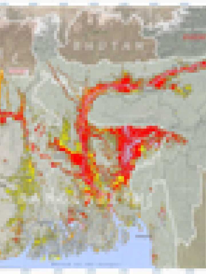
Flood waters of South Asia 2008
This map illustrates satellite detected flood water over South Asia, covering the eastern Indian States of Bihar and Assam, as well as the whole of Bangladesh. Those areas with likely standing flood waters have been identified from Modis Aqua and Terra satellite imagery collected from 1 to 8 September 2008 at a spatial resolution of 250m. The flood water extent from August 2007 is also presented for a time comparison. Pre-flood water levels were measured for 1-10 May 2007. Of special note is the distinct area of flood water along the old Kosi river channel in the Indian state of Bihar, the result of an embankment breach in southern Nepal on 18 August 2008. Estimates of flood water area (km2) have been calculated for the affected Indian and Bangladesh administrative units (levels 1 & 2) and are presented in tabular lists. Note only units with flooded area values over 100km2 have been included. This is a preliminary analysis and has not yet been validated in the field. Map Scale for A2 Prints: 1:2,750,000; Projection : Albers Equal Area Conic; Datum: WGS 1984.
Source(s):
Satellite Data :MODIS Terra & Aqua (NASA)
Image Resolution : 250 Meters
2008 Dates : 1-8 September 2008
2007 Dates : 1-10 May 2007, 2-22 August 2007
GIS Data : USGS, NGA, UNJLC, WDPA
Elevation Data : SRTM (90m) - NASA
Flood Analysis : UNOSAT
Map Production : UNOSAT (11 September 2008)
Explore further
