Geo-enabled information for disaster risk reduction
This brochure introduces the disaster information management system (DIMS), developed under the framework of the SERVIR-Himalaya initiative as a component of a larger national disaster risk reduction (DRR) platform in Nepal, and as a one-stop gateway for disaster-related information in line with the Hyogo Framework of Action (HFA) 2005-2015.
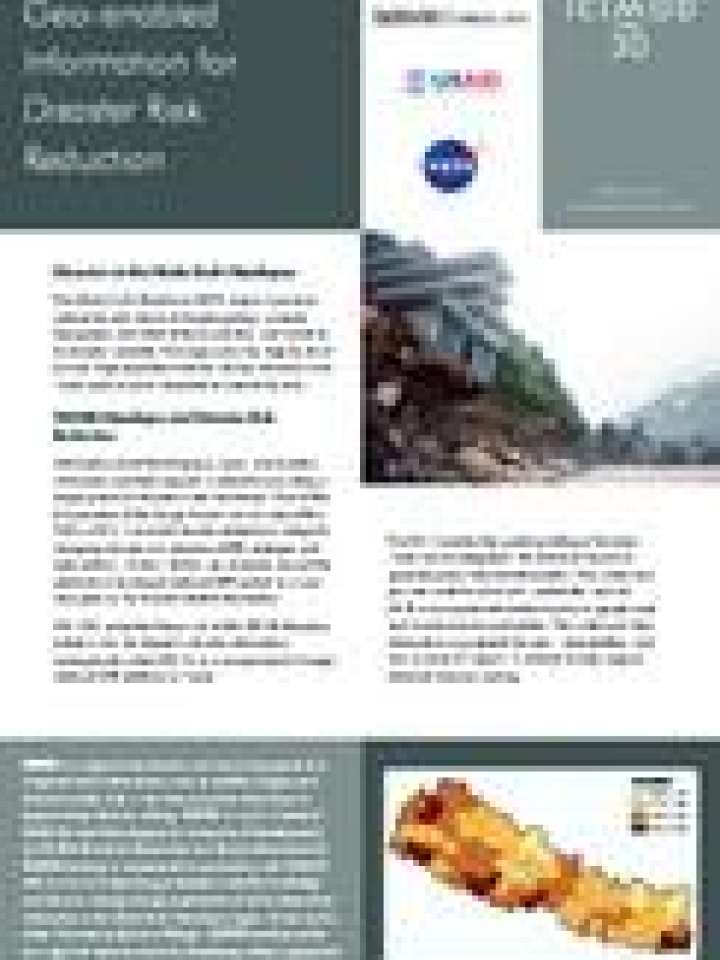
DIMS enables the spatial profiling of disasters, which can be integrated with historical records to generate policy-relevant information. The system also provides multi-level hazard, vulnerbality, and risk (HVR) assessement information based on geophysical and socioeconomic parameters. The system provides information on potential hazards, vulnerabilities, and risks in each of Nepal’s 75 districts to help support informed decision making.
The brochure also presents the system's data and tools that provide easy access to disaster information and the framework for hazard, vulnerability, and risk mapping (HVR) developed at the national and sub-national levels.
Explore further