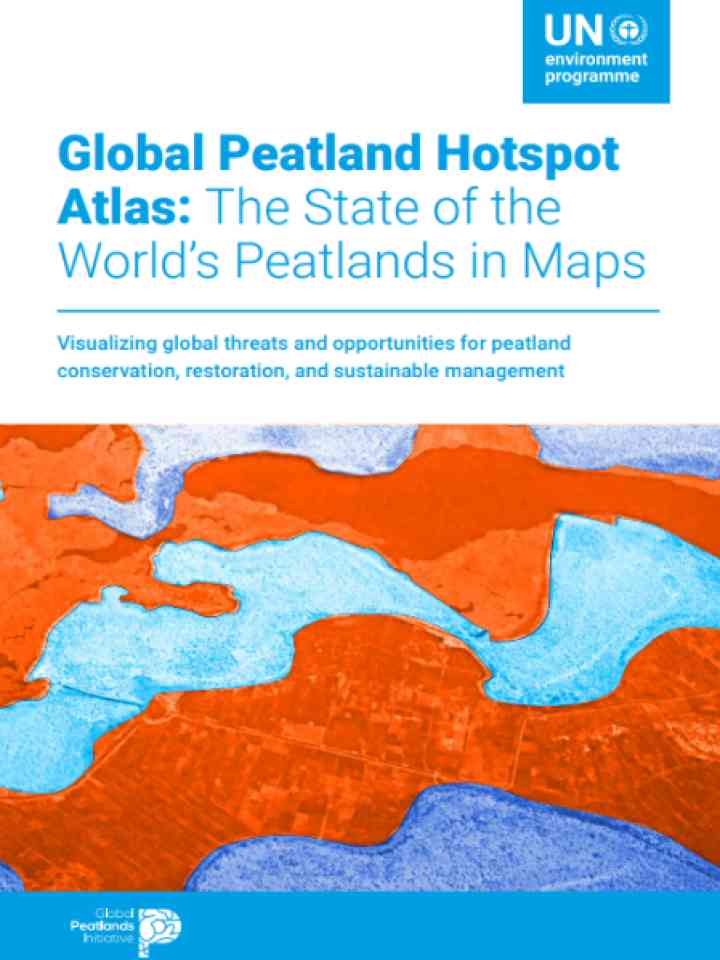
Global peatland hotspot atlas: The state of the world's peatlands in maps
The Global Peatland Hotspot Atlas: The State of the World's Peatlands in Maps reveals the status of global peatlands through a series of maps that highlight their distribution and features on a continental scale, identifying hotspots and illustrating the current threats to these ecosystems due to infrastructure, urbanization, resource extraction, land use, and climate change. By compiling a series of maps that analyze the global distribution of peatlands in relation to geographic data on these threats, the Atlas offers a comprehensive overview of vulnerable areas.
The Atlas offers an advanced visualization of peatland distribution and threats, setting new standards for global mapping and policy development. To address the challenges facing peatlands, immediate and coordinated action is essential to prevent further degradation, restore damaged areas, and protect these vital ecosystems. The Atlas also offers actionable insights for sustainable management and biodiversity conservation, ensuring that peatlands continue to provide their invaluable services for both nature and humanity
Explore further
