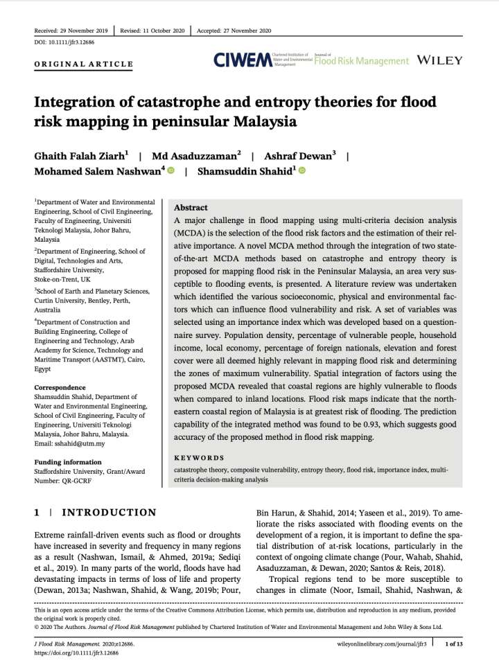
Integration of catastrophe and entropy theories for flood risk mapping in peninsular Malaysia
This study analyses flood risk factors and the estimation of their relative importance in Peninsular Malaysia. The paper examines the various socioeconomic, physical and environmental factors which can influence flood vulnerability and risk.
The study identifies seven major factors which are accountable for mapping flood risk and determining the zones of maximum vulnerability. These are population density, percentage of vulnerable people, household income, and economy of the region, percentage of foreign nationals, elevation and forest cover. This paper reveals that coastal regions of Peninsular Malaysia, especially the north-eastern coastal regions, are highly vulnerable to floods than inland locations. The spatial variability of flood susceptible zones, and the factors that influence it, can be used to develop measures necessary for reducing future flood risk in Malaysia.
Explore further
