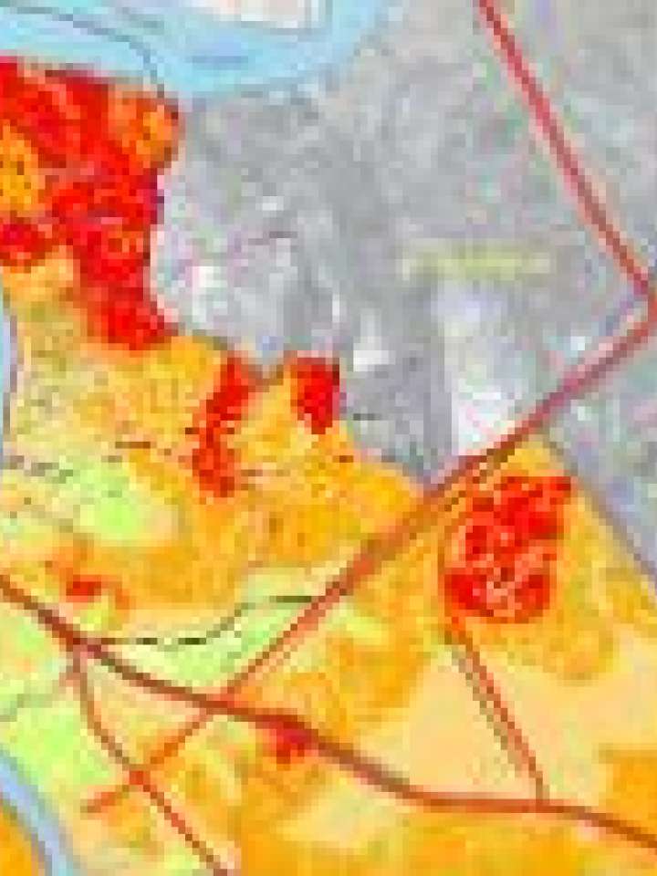
Mapa de amenazas por inundaciones: Durán, Ecuador
El Mapa de Amenazas por Inundaciones del Cantón Durán, realizado mediante modelamiento matemático, muestra los diferentes niveles de amenaza a los que se encuentran expuestos los diferentes sectores del cantón.
Explore further
Hazards
Flood
Country and region
Ecuador
Publication year
2014