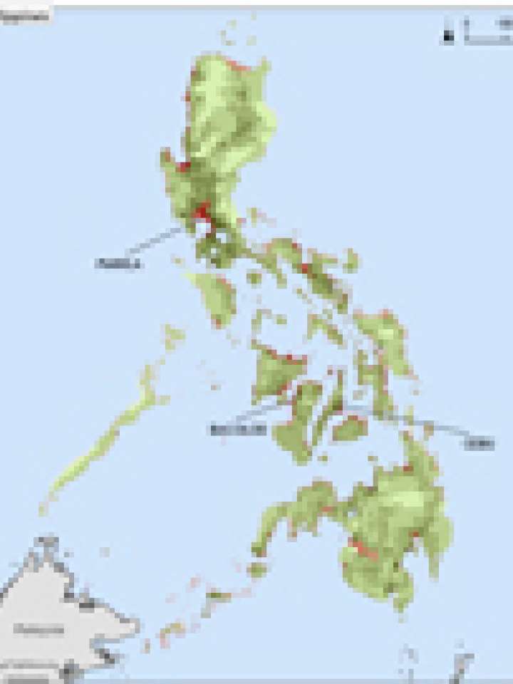
Philippines: 10m low elevation coastal zone and population density
This map illustrates population density within and outside of a 10m Low Elevation Coastal Zone: Phlippines.
Center for International Earth Science Information Network (CIESIN), Columbia University. (2007).
Country-level estimates of urban, rural and total population and land area in a low elevation coastal zone (LECZ) were generated globally using Global Rural-Urban Mapping Project (GRUMP) alpha population and land area data products and a Digital Elevation Model (DEM) derived from Shuttle Radar Topographic Mission (SRTM) remote sensing data.
The zone was derived from the DEM by selecting all land contiguous with the coast that was 10 meters or less in elevation. Zonal statistics were generated for urban, rural and total population and land area for the country as a whole and within the LECZ.
All grids-population, land area, urban mask and LECZ-are at 1 km (30 arc-second) resolution. The SRTM dataset used came from ISciences; the GRUMP data were developed by CIESIN.
Explore further
