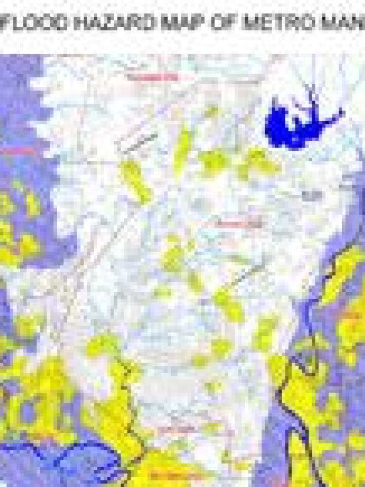
Philippines: Flood hazard map of Metro Manila
This map illustrates Metro Manilla's exposure to flood hazard.
The Philippine government has made geo-hazard maps, which outline areas prone to natural disasters, publicly available in a bid to reduce vulnerability at community level.
The geo-hazard map developed by the Mines and Geosciences Bureau of the Department of the Environment and Natural Resources (MGB-DENR) uses colour to classify areas as either low, moderately or highly susceptible to floods, flash floods and landslides. Some areas are marked as being prone to riverbank erosion. These codes are superimposed on the topographic map of the Philippines.
Explore further
