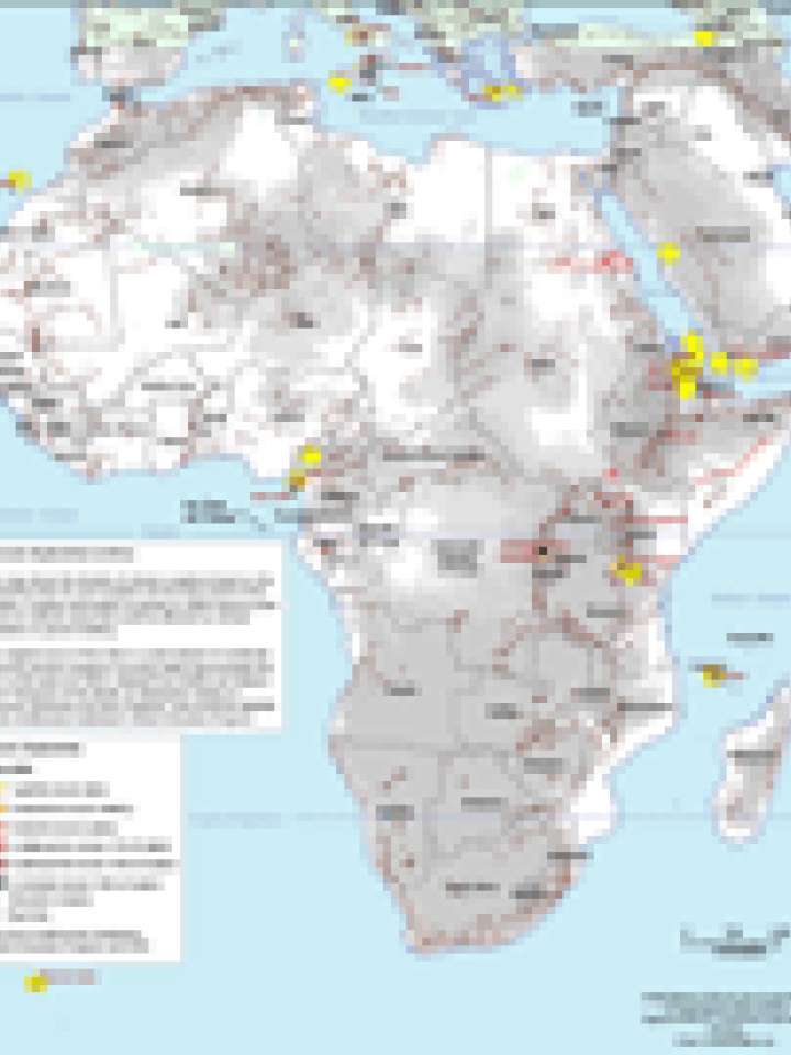
Potential geologic hazards areas in Africa
This map shows the density of volcanic eruptions based on the exclusivity index for each eruption and the time period of the eruption. Eruption information is spread to 100km beyond point source to indicate areas that could be affected by volcanic emissions or ground shaking.
The original source of the data is a point dataset of worldwide historical volcanic eruptions occurring within approximately the last 11,500 years (to 2002). Adapted from Simkin and Siebert, 1994 "Volcanoes of the World: an Illustrated Catalog of Holocene Volcanoes and their Eruptions" and produced digitally by the Smithsonian Institution's Global Volcanism Program.
Data from Smithsonian Institution. Global Volcanism Program and ESRI.
Map data source: UN cartographic Section, Global Discovery, NASA, Columbia University, Smithsonian Institute.
Explore further
