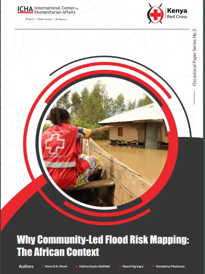
Why community-led flood risk mapping: The African context
This document makes the case for community-based approaches to flood risk mapping in Africa and highlights its effectiveness in localized settings, as demonstrated by the experience of the Kenya Red Cross Society in assisting Kenyan Counties to develop flood risk maps
Data collection is a crucial first step which involves the development of flood risk maps useful in understanding areas at risk, population and infrastructure in these areas. These maps are a representation of layered datasets such as settlements, flood return periods and local infrastructure which are then easily visualized, interpreted and used by disaster risk managers. For example, in the event that there is an imminent hazard, the maps are used to prioritize areas and vulnerable population to be targeted by the early actions.
Ground work on data collection is necessary to fully understand flood risk in Africa. To expedite the process, acquire high resolution information and to ensure community ownership, there is need to embrace local knowledge where community members provide insight into the effects of flooding and vulnerability in their locality that may easily escape the assessments from afar.
Explore further
