Landslide

Landslide is the downslope movement of soil, rock and organic materials under the effects of gravity, which occurs when the gravitational driving forces exceed the frictional resistance of the material resisting on the slope. Landslides could be terrestrial or submarine (Varnes, 1978).

Landslides can be triggered by geological and physical causes such as glacier or snow melts, heavy rains and water pressure, earthquakes, volcanic eruptions and overly steep slopes. Landslides can also be triggered by human action, the most common being building on unstable slopes. Submarine landslides, or massive slides and rock falls hitting the sea can also cause tsunamis.

Landslides can reach speeds of over 50 km/h and can bury, crush or carry away people, objects and buildings. Landslides cannot be predicted but warning systems measuring rainfall levels can provide warning to people living in landslide-prone areas.

Instrumental monitoring to detect movement and the rate of movement can be implemented, for example, extensometers, global positioning system (GPS), seismometers, aerial photography, satellite images, LiDaR (Highland and Bobrowsky, 2008) with varying degrees of success. Increasingly, the science of landslide physics is allowing the nature of these hazards to be understood, which is leading to better techniques through which they can be managed and mitigated (HIP).

Risk factors

  • Population growth
  • Rapid urbanization
  • Environmental degradation (deforestation and inappropriate use of lands and slopes)
  • High population density, heavy rainfall and rapid land use changes increase the instability of slopes

Risk reduction measures

  • Early warning systems to observe and alert before landslides happen
  • Hazard maps to identify landslides risk and vulnerabilities
  • Integrate landslide risk assessment into urban planning strategies
  • Building codes and standards for materials that reinforce landslide resilience
  • Improve drainage, building tunnels and trenches to stabilize slopes
  • Protect forest cover and regulate logging
  • Raise awareness of landslide risk
  • Regular drills and community evacuation exercises
  • Establish national, regional, and local evacuation plans

Latest Land Slide additions in the Knowledge Base

Yellow building collapsed after an earthquake.
Research briefs

A new study reveals how an atmospheric river led to more devastation after two earthquakes hit Türkiye and Syria, highlighting the need for better risk assessment models.

Eos - AGU
Cover
Documents and publications

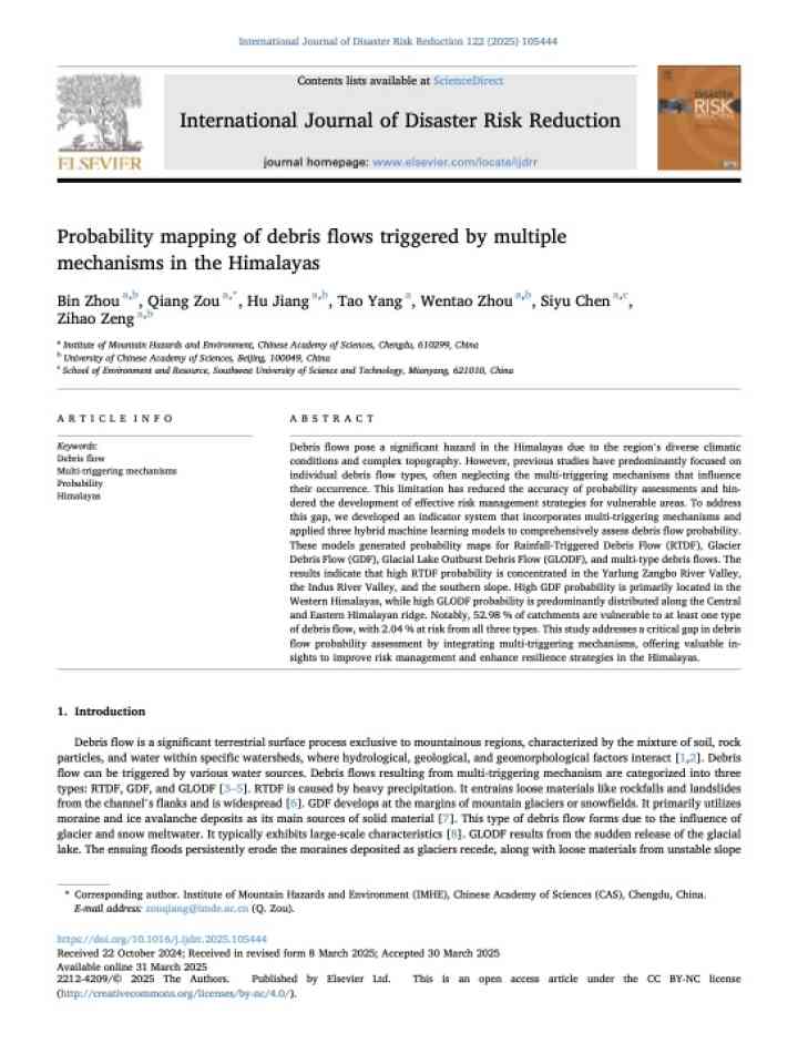
A study in the Himalayas maps debris flow probabilities using AI models, assessing risks from rainfall, glaciers, and glacial lakes. It highlights climate-driven multi-hazard dynamics, aiding disaster planning across diverse high-altitude terrains.

International Journal of Disaster Risk Reduction (Elsevier)
Rock and soil cover destroyed houses in La Conchita, California after a landslide tore through the community in 2005.
Research briefs

Researchers from the Leibniz Centre for Agricultural Landscape Research (ZALF), together with international partners, have developed a new framework that significantly improves landslide prediction using machine learning methods.

Leibniz Centre for Agricultural Landscape Research (ZALF)
Submarine telecommunication cable
Research briefs

Hydroacoustic signals captured by the world's international nuclear monitoring system suggest an underwater landslide may have broken communications cables and disrupted internet traffic in west African countries for several weeks in March 2024.

Seismological Society of America
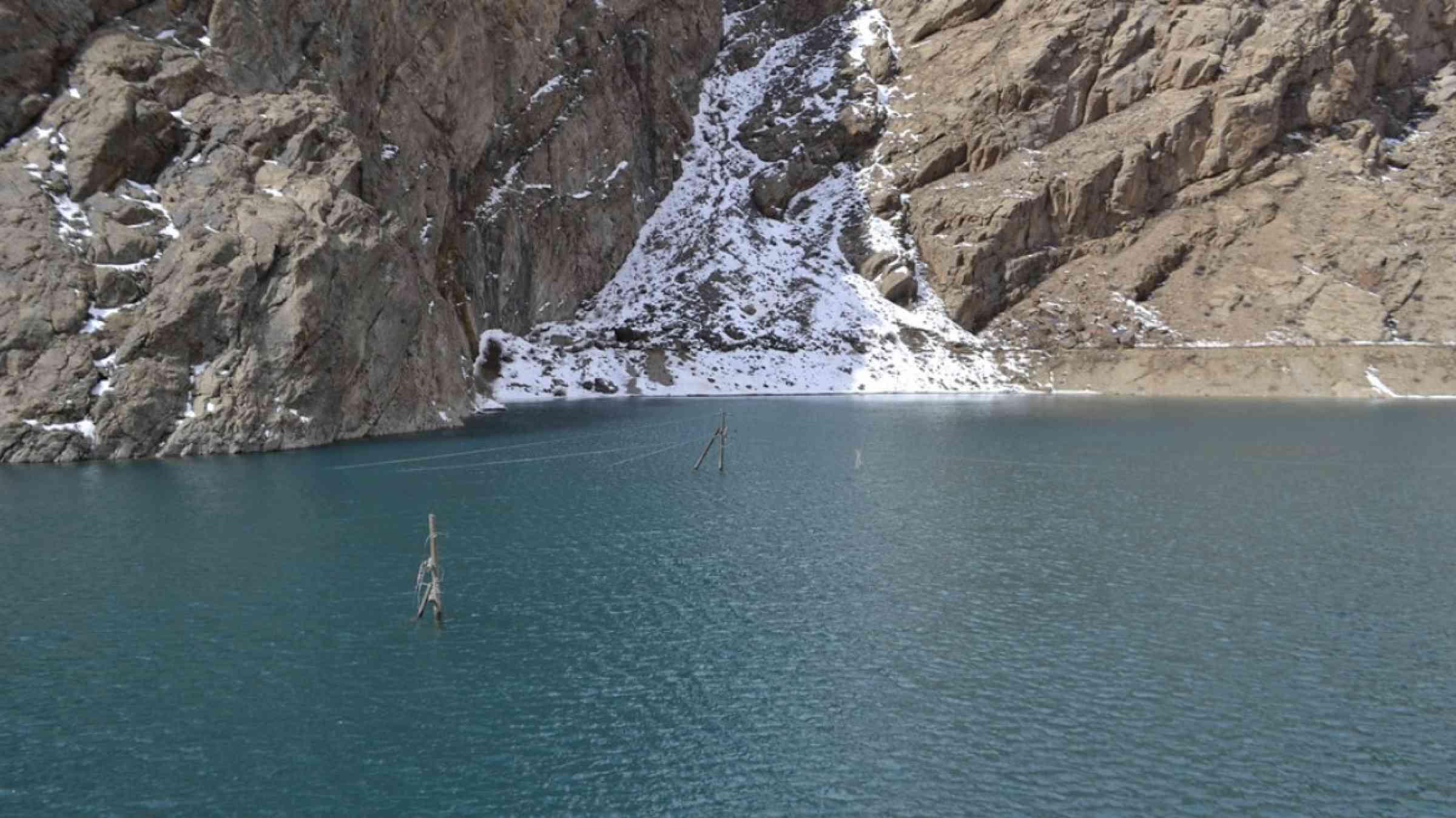
The remains of a glacier in Tajikistan leading down to a lake.
Update

Glaciers in the Hindu Kush Himalayas provide freshwater for drinking for nearly 2 billion people in the region, but these glaciers are melting rapidly. Accelerated glacial melt is increasing the risks of hazards like floods and landslides.

Asian Development Bank (ADB)
Research briefs

The 2019 volcanic explosion on Whakaari, which killed 22 people is one of New Zealand’s worst disasters. But an even more devastating catastrophe could happen at one of New Zealand’s most iconic tourism destinations, Piopiotahi/Milford Sound.

Conversation Media Group, the
Cover
Documents and publications

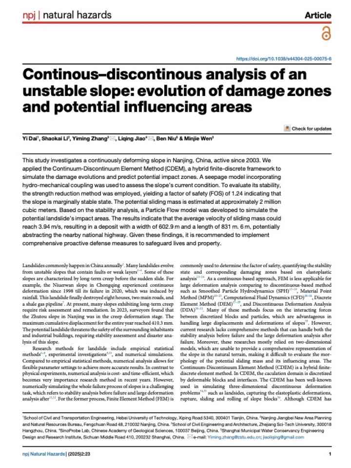
This study examines a continuously deforming slope in Nanjing, China, which has been active since 2003.

npj Natural Hazards (Nature)
The new building of District Hospital Dolpa built by Urban Development and Building Division Office, Nepal
Update

The Anandaban Trauma Centre, which was built in the wake of the earthquakes that struck Nepal in 2015, proved its resilience in the face of disaster in September last year when deadly monsoon rains hit the Kathmandu valley.

Global Network of Civil Society Organisations for Disaster Reduction
Uploaded on

Is this page useful?

Yes No
Report an issue on this page

Thank you. If you have 2 minutes, we would benefit from additional feedback (link opens in a new window).