Tornado
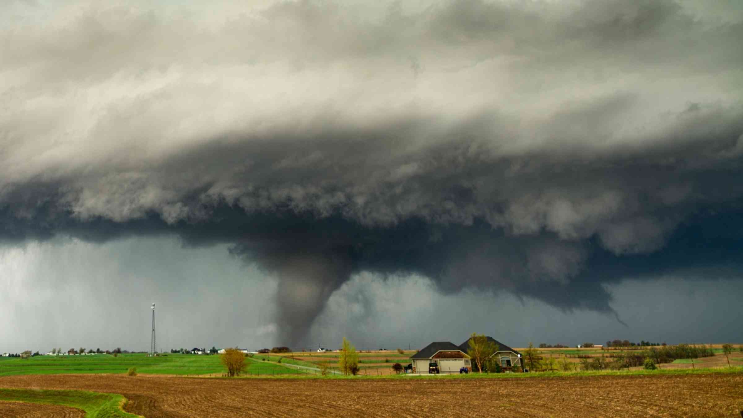
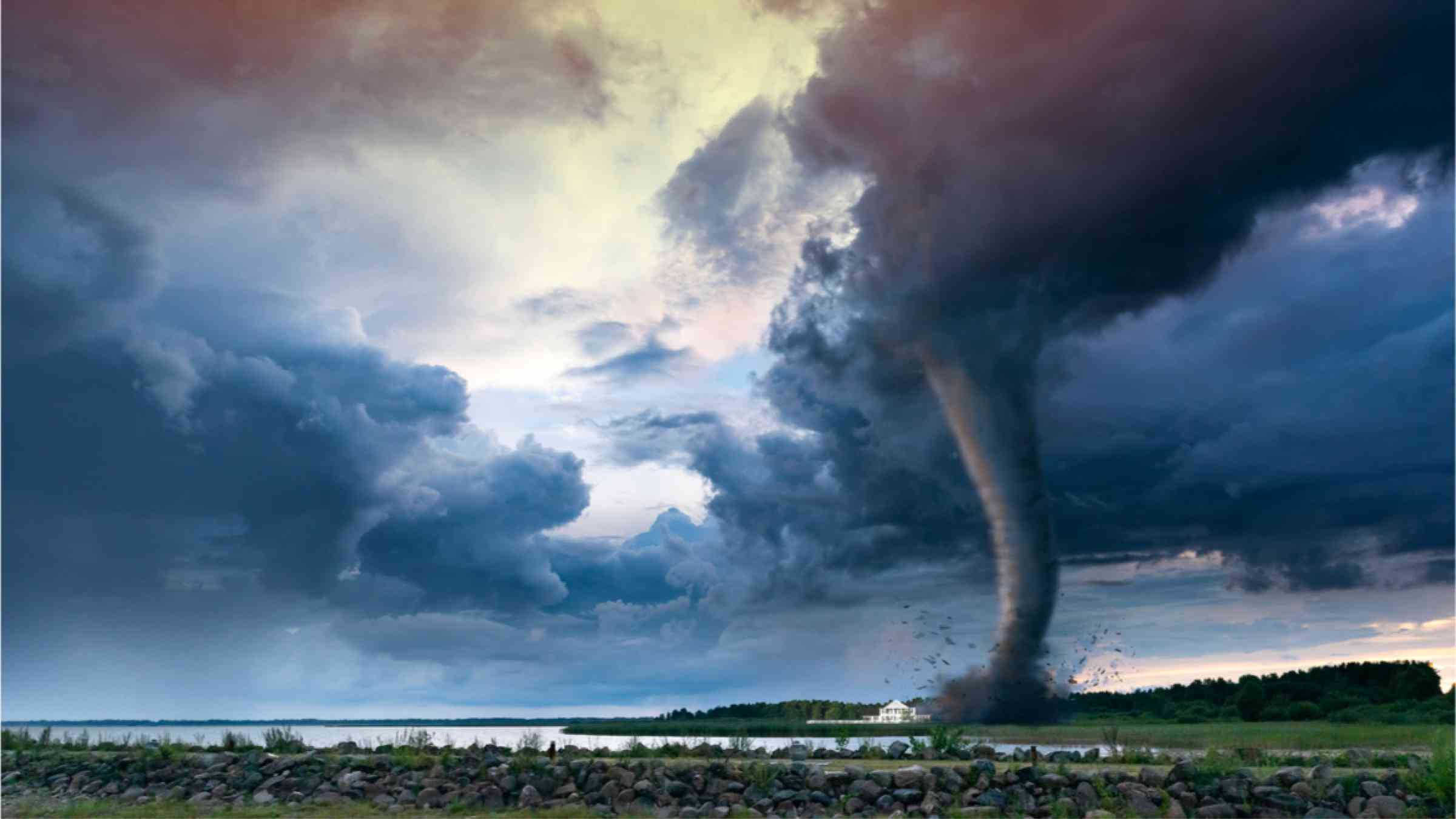
A tornado is a rotating column of air, extending from the base of a cumuliform cloud, and often visible as a condensation funnel in contact with the ground, and/or attendant circulating dust or debris at the ground (WMO, 2017).
The strength of a tornado can be estimated from the degree of damage caused using the Enhanced Fujita scale (Wind Science and Engineering Center, 2004; National Weather Service, no date).
Tornadoes kill fewer than 100 per year on average but they can be very destructive and cause huge economic losses. The United States is a major hotspot with about 1,000 tornadoes every year, causing 80 deaths and more than 1,500 injuries on average (National Geographic, 2019).
Owing to the unpredictable nature of tornados, protecting the public is focused on education and outreach which provide information on the tornado as a threat, how to identify a tornado and practical measures on how individuals can protect themselves, and how to find and watch warning systems that alert the public (CDC, 2020).
Since the advent of Doppler Radar, lead times for tornado warnings have increased from when a tornado first touches the ground to upwards of 14 to 20 minutes or more beforehand (WMO, 2017b; National Geographic, 2019).
Risk factors
- Lack of early warning systems and preparedness programmes.
- Even when warning systems are in place, the aged and children have higher mortality rates.
- Populations living in mobile homes are at greater tornado risk. The rate of serious injury for mobile homes occupants is 85.1 per 1,000 compared to 3 per 1,000 for occupants in standard homes.
Vulnerable areas
- The most tornado-prone areas in the world are in North America, in particular the Great Plains in the United States and south-central Canada.
- Tornado Alley, a region that includes eastern South Dakota, Nebraska, Kansas, Oklahoma, northern Texas and eastern Colorado, is home to the most powerful and destructive of these storms.
- The United States gets 75 per cent of all the world’s tornadoes, followed by Canada and Bangladesh.
- Australia, New Zealand, South Africa, India, Argentina and the Russian Federation are also prone to strong tornadoes.
- Communities living in poorly built houses close to potential flying objects are in particular danger. People outdoors when tornadoes occur are at higher risk of mortality.
The Enhanced Fujita Tornado Scale
The Fujita Scale is named for Dr TT (Ted) Fujita, who made the first systematic study of tornado forces; it was replaced by the Enhanced Fujita (EF) Scale in February 2007.
Risk reduction measures
- Monitoring systems to observe thunderstorms with radar and receive reports on tornadoes.
- A hazard map to identify risk and vulnerability.
- A warning/communication system to alert people in the path of a tornado.
- Underground shelters to protect people.
- Avoiding mobile home settlements in risky zones.
- Education and awareness about tornadoes, warnings and safe action.


