Web technologies help tackle climate change effects on water resources - UNESCO
Recent technological breakthroughs are enabling the development of new tools and data collection to help governments and local communities improve their adaptations plans and better cope with natural disasters such as floods and droughts. The UNESCO Intergovernmental Hydrological Programme (IHP) presents three new tools to reduce climate change effects on water resources: G-WADI GeoServer precipitation maps, the RainMapper app and the Glaciers app.
Gathering information on hydroclimatic conditions is essential for water resources planning and emergency preparedness for floods and droughts. IHP and the Centre of Hydrometeorology and Remote Sensing (CHRS) at the University of California-Irvine are collaborating to provide real-time satellite precipitation data within the framework of the Water and Development Information for Arid Lands a Global Network (G-WADI). The G-WADI PERSIANN-CCS GeoServer employs remote sensing technologies and artificial intelligence to estimate rainfall globally from satellite imagery in near real-time and high spatiotemporal resolution. It offers graphical tools and a data service to help in emergency planning and management for natural disasters related to hydrological processes.
The Namibia Drought Hydrological Services (NHS) uses G-WADI GeoServer data to prepare a daily flood/hydrological drought bulletin with up-to-date information on flood and drought conditions for local communities. This information assists the NHS to make more accurate judgments on future water supply for multiple uses, and provides early warning for floods and droughts in areas located in national and transboundary river basins.
More recently, the CHRS launched the RainMapper mobile app for real-time global precipitation monitoring. Using information provided by the PERSIANN-CCS GeoServer, RainMapper features a geographical search engine designed with a user-friendly interface of local real-time precipitation and several display options for base maps. The mobile app was used to track Typhoon Rammasun (considered one of the only two category 5 super typhoons on record in the South China Sea) across the Philippines in July 2014.
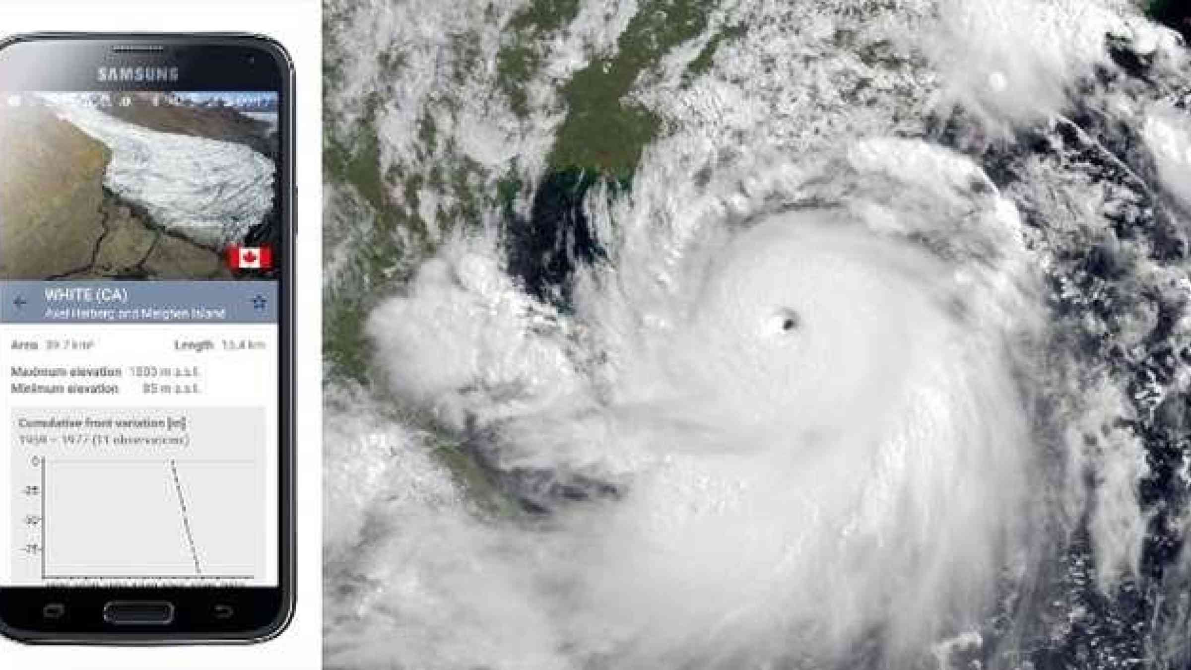
In the context of the Paris Climate Conference (COP21) in December 2015, the World Glacier Monitoring Service (WGMS) and IHP jointly launched the Glacier mobile app. This new information system aims at bringing scientifically sound facts and figures on worldwide glacier changes to decision-makers at governmental and intergovernmental levels as well as reaching out to the general public. The WGMS Glacier app provides a map interface based on satellite images that display all the observed glaciers in the user’s proximity. Basic information is provided for each glacier, including photographs and general information on size and elevation.