By Marc-André Parisien
Canada and other fire-prone regions should develop new maps of fire risk and use them to guide development and mitigation efforts. Similar maps are already produced around the world for areas prone to flooding and earthquakes, and it is unfortunate that so little has been done so far to measure wildfire risk. This is especially true across Canada, where hundreds of communities embed themselves in one of the most flammable places on Earth.
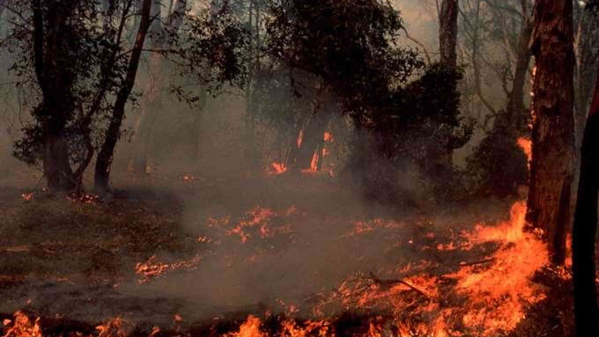
Wildfire spreads through a boreal forest with a speed and intensity not seen in other landscapes. But a fire’s impact depends on factors that we can measure. With data on fire ignitions, weather, vegetation and topography, we can build models to demonstrate how we expect a region to burn should it catch fire. These can show two things that are important to guide policy: the probability of burning, and the likely fire intensity. The first shows the chances of a fire taking hold, and the second indicates how severe the consequences will be.