Production of microzonation report and maps for Asia side
This report contains the result of a microzonation study in Asian side of Istanbul City. Aim of the study is the determination of geological, geotechnical, geophysical features of Anatolian Side, Istanbul Provincial and the areas of Anatolian Side with different hazard potentials in terms of earthquake effect and local ground conditions, creation of the solution suggestions by analysing the detected problems, then preparing the required map productions in the light of the obtained datas and finally by these products, preparation of 1/2000 printout scaled ”Land Suitability Maps” which will constitute the basis for the Construction Plan.
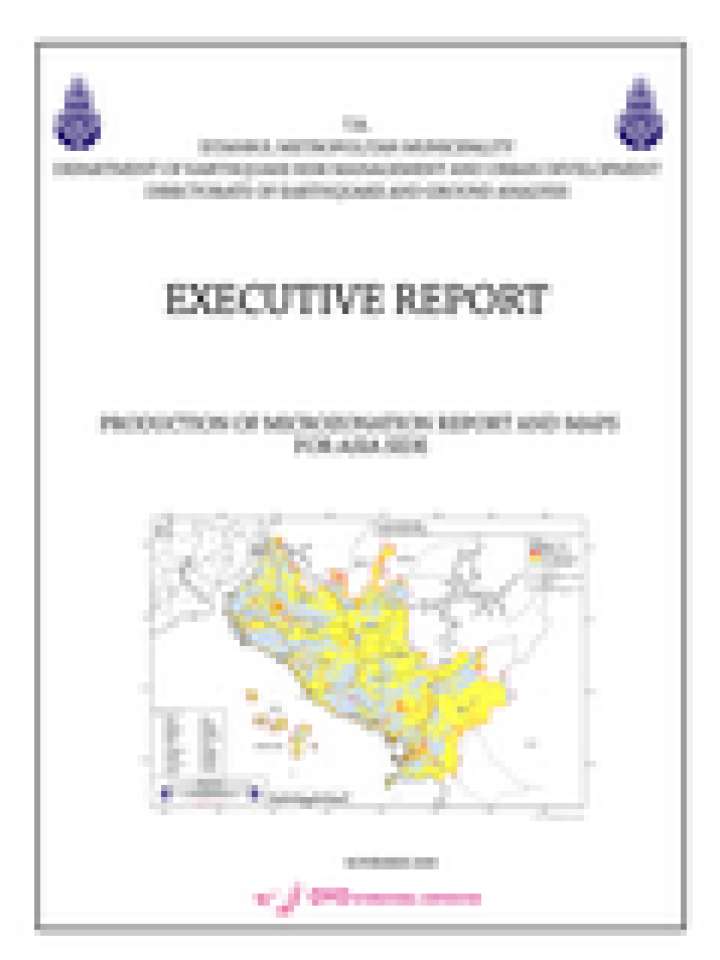
The Study Area contains all parts of Kadıköy, Ataşehir, Ümraniye, Adalar, Sancaktepe, Sultanbeyli, Maltepe, Kartal, Pendik, Tuzla ve Çekmeköy counties except water basin and forest lands, south parts of Beykoz County. The survey area was approximately 509km2 of Asian side of Isutanbul City. Geological site observations, drilling surveys, geophysical surveys and laboratory tests were conducted in this project area which were carefully planned. Huge volume of the data of soil and rock properties were acquired. According to these data, the study team made various hazard maps such as Ground Shaking Map, Liquefaction Hazard Map, Landslide Hazard Map, Flooding Hazard Map and etc. Finally, the results were summarized as Land Suitability Map.
Explore further