Putting vulnerable communities on the map: A research report on what influences digital map-making with young volunteers in Bangladesh
This research aims to understand what factors influence the production of maps from flood-prone areas in Bangladesh, both at the local level, and remotely, and how this impacts what is eventually represented in those maps. This will help to consider the most effective ways for volunteers to support truly participative mapping. The findings and recommendations from the research will help to inform future mapping activities and the involvement of local and UK young volunteers.
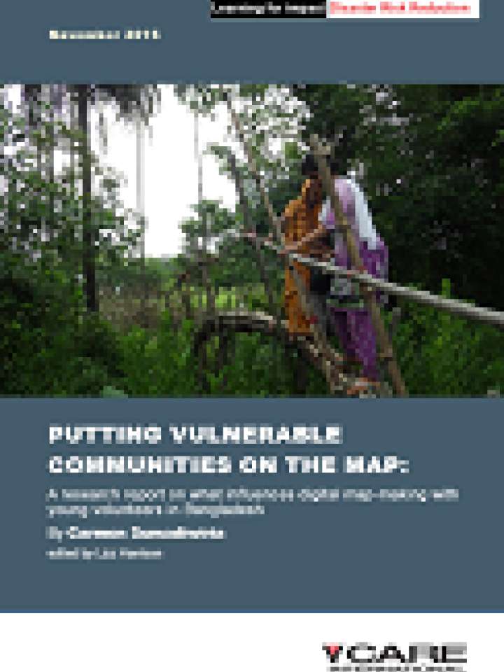
Bangladesh is one of the countries in the world most vulnerable to climate change, and experiences frequent flooding and cyclones, and landslides and droughts. Yet limited geographic information or maps are available for many parts of flood-prone Bangladesh. Detailed maps give individuals, organisations and governments’ information to support them in planning disaster risk reduction (DRR) activities and preparing for crises. They also help humanitarian response actors to get aid where it is needed most.
Explore further