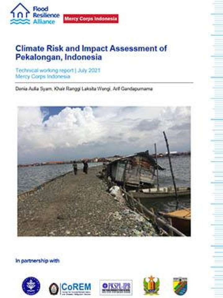
Climate risk and impact assessement Pekalongan
This report discusses how Mercy Corps Indonesia, Diponegoro University, and Bogor Agricultural Institute, as part of the Zurich Flood Resilience Alliance program, conducted a climate risk and impact assessment of the Kupang River watershed and coastal areas of Pekalongan City and Pekalongan Regency, with the aim to support local governments to understand the underlying drivers, risks, and impacts of flooding; and inform policy development. The assessment consists of a hazard, vulnerability, and risk analysis, and an economic and non-economic impact analysis of coastal and tidal flood events.
Poor land use management has led to around 22 percent of the Kupang watershed, the primary water source of Pekalongan, to experience ecosystem degradation and surface runoff. Lack of alternative water sources has led to excessive groundwater extraction and caused significant land subsidence. The rate of land subsidence is alarming, ranging from 0 –34.5 centimeters (median 16.5) per year, with coastal and downstream areas experiencing the highest rates. The rapid and high rate of land subsidence has led to permanent inundation of villages in coastal areas and driven some parts of the community to relocate from their ancestral lands. Residents who have opted to stay in permanently inundated areas due to their socio-economic status, are faced with the difficult task of transforming their livelihoods to withstand these climate impacts
An impact analysis on 41villages identified as having the highest risk revealed the total annual impact of flooding to be around 474.4 million annually in 2020. This figure is twice the total annual budget of Pekalongan City and Regency. Losses are predicted to increase almost five-fold to USD 2.15billion per year by 2035due to increasing flood risks.
The evidence generated from risk and impact assessments are informing policy development of the Pekalongan City and Regency governments. Policy recommendations are currently being developed around four clusters: zoning and regional adaptation; flood management infrastructure; water resource management through infrastructure and conservation; and human resource and institutional capacity development on disaster risk reduction.
Explore further
