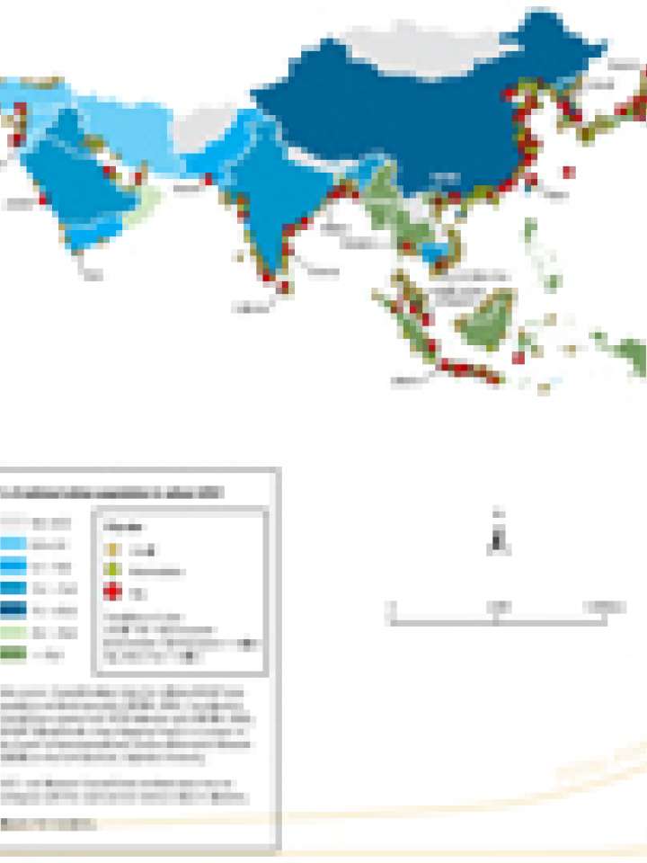
Asian cities at risk due to sea-level rise
The map highlights cities in Asia at risk due to sea-level rise, and their dimension.
In the 20th century, sea levels rose by an estimated 17 centimetres, and the conservative global mean projections for sea-level rise between 1990 and 2080 range from 22 centimeters to 34 centimeters.
Oceans, which have been absorbing 80 per cent of the temperature increase attributable to global warming, are expanding as ice sheets in the North and South poles melt. These events have led to a rise in sea levels and increased flooding in coastal cities.
The projected rise in sea levels could result in catastrophic flooding of coastal cities. Thirteen of the world’s 20 megacities are situated along coastlines.
The map is based on data provided by: Coastal Analysis Data Set utilizing GRUMP beta population and land area grids (CIESIN, 2005), Low evelation Coastal Zone created from SRTM elevation grid (CIESIN, 2006), GRUMP (Global Rural - Urban Mapping Project) is a project of the Center of International Earth Science Information Network (CIESIN) at the Earth Institute, Columbia University.
Explore further
