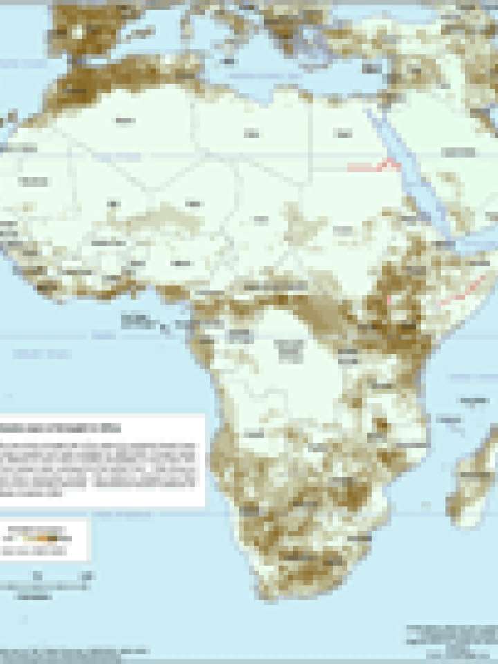
Drought in Africa 1980-2001
This maps illustrates drought risk in the region by overlaying twenty years of data compiled and made available by UNEP/GRID. Drought events are defined as areas where monthly precipitation is lower than 50 % of the median value calculated for the period 1961-1990 during at least three consecutive months. This method is adapted from Brad Lyon at the Columbia University - International Research Institute for Climate Prediction (IRI).
Map data source: FAO, Global Discovery, UNEP/GRID, GAUL 2007
Explore further

