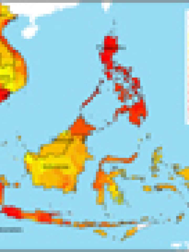
Multiple climate hazard map of Southeast Asia
The climate hazard index used in this study is a simple average of five standardized climate related hazards (cyclones, floods, and droughts in terms of average annual frequency of occurrence from 1980-2000, the degree of landslide risk, and the extent of a 5-meter inundation zone due to sea level rise). The data on climate hazards is taken from the PREVIEW database of UNEP, while the sea level rise
inundation zone map is produced from CReSIS.
Explore further
Themes
Climate change
Country and region
Asia
Publication year
2009