Training of trainers to improve geological disasters resilience in Malaysia

Over the years, we have witnessed a growing number of geological disasters due to climatic shifts.
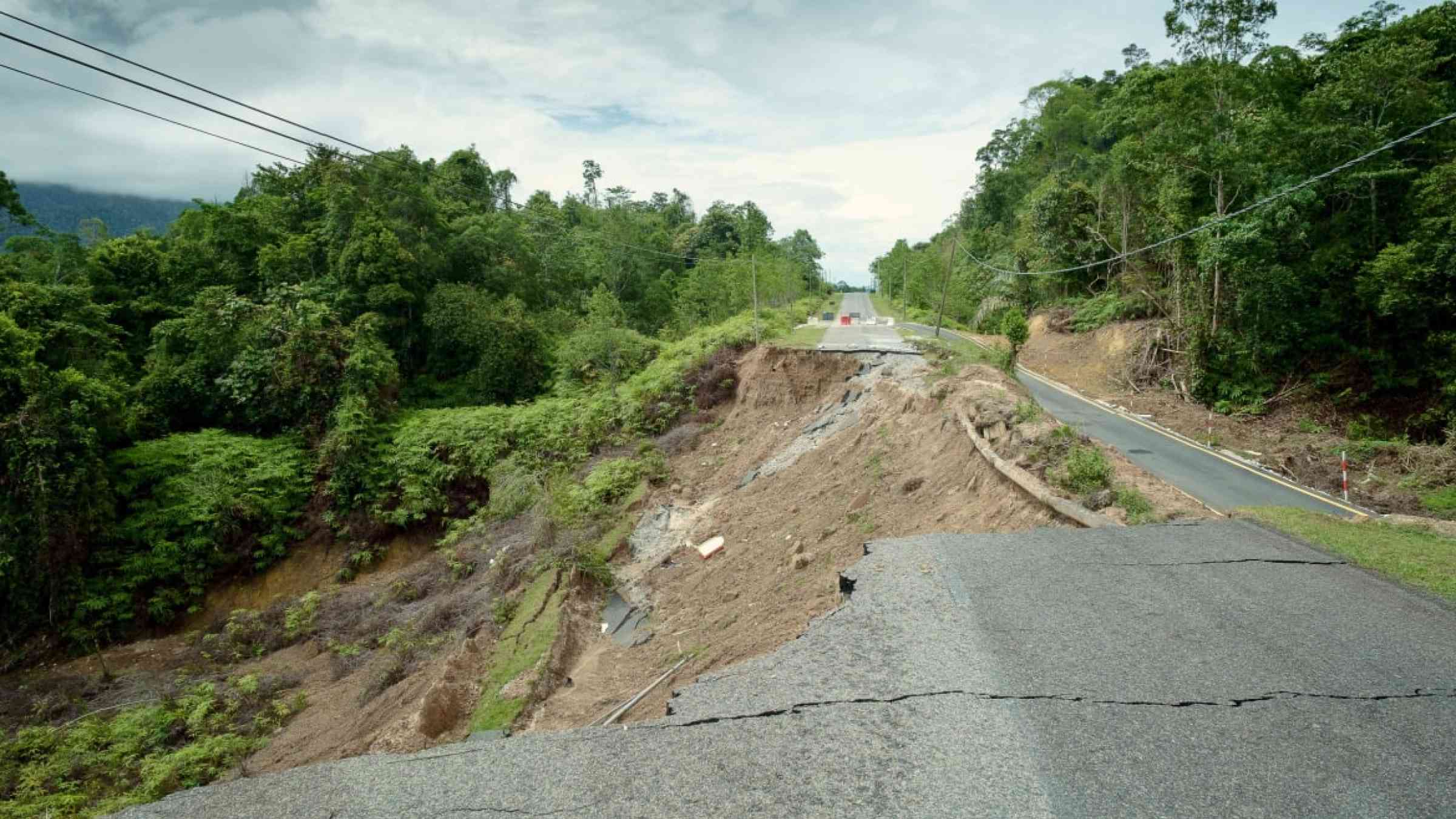
One such disaster is the landslide, and the main culprit of such occurrences can be attributed to intense rainfall coupled with high slope angles, especially in areas previously not expected to be susceptible. In this post we share a successful experience of ‘training of trainers’ in Malaysia, to increase local resilience for landslides and geological disasters in general.
Since the 1990s, landslide incidents have been threefold in Malaysia (Ahmad et al., 2014), damaging properties and lives. As witnessed in urban areas, devastating landslides are primarily linked to the presence of engineered slopes, i.e. slopes that are modified by applying engineering techniques.
For example, the 2022 Bukit Permai event killed 4 people and injured a few within its proximity. It was speculated to have occurred due to heavy precipitation at an unlikely time of the year. The slope failure started at the upper portion, indicating it occurred on the modified slope. Despite warning signs appearing weeks before the event, many residents remain intransigent.
Hence, efforts were channeled to educate local communities to improve their resilience towards natural hazards and their disruptive impacts. With the support of the National Geographic Society, disaster risk reduction activities were developed to enhance the understanding of future front-runners on such issues. The target audience was teachers and school children in landslide-prone areas. A total of 46 indigenous schoolteachers and approximately 400 students participated in the experiential learning program on 22nd August 2022 and 29th September 2022, respectively. The activities include disaster board games, mudslide simulation, and awareness, emphasizing the importance of landslide mitigation measures and policy interventions at local, state, and federal levels. Furthermore, the secondary or cascading effects of a landslide were identified and prioritized. Among them, the following main secondary effects have been identified: severe landscape disruptions, impacted river systems, debris flood formation at the slope between 5 and 15 degrees, and mud flood at the downstream portion.
To enhance understanding of slope failure, simple models were constructed. The sandy-clay slope was designed with an average of 35 degrees. This was done to replicate the actual scenario of surrounding regions. It was initiated by pouring water, indicating high precipitation and led to slope failure. The increase in water content developed debris flow and caused damage. The aim was to show the concatenating impacts of slope failure, as a similar chain of events has been observed throughout the nation lately.
In summary, the post-survey shows the majority of the indigenous teachers have developed a better understanding of geological disasters and their cascading impacts. This is imperative because many of them were able to identify the different types of geological hazards and approximately 27% believe Malaysia can be a disaster resilience nation in the next five years. Most importantly, over 80% of the teachers support the idea of educating school children on geological hazards. The initiative helped to guide future teachers in developing an education module based on disaster risk reduction approaches. Such changes will help to overcome climate literacy and further enhance disaster preparedness. Understanding and abating landslides is a daunting task and remains a significant challenge; however, a difference can be made if we can work together to resolve it.